Summits of Fribourg
After multiple consecutive weekends of bad weather, I was extremely happy when I opened the weather forecast this week and finally saw a Saturday without rain. Time to attempt a project I’ve been fantasizing about in my mind for more than a year. It already struck me a while ago that the three highest summits of the Canton of Fribourg, the Vanil Noir (2389m/7837ft), the Vanil de l’Écri (2376m/7795ft), and the Pointe de Paray (2375m/7791ft), are almost identical in height, and located on one and the same ridge.1 After some research, it turns out that also the fourth highest summit, the Dent de Brenleire (2354m/7723ft), is not too far away form the other peaks. Actually, neither is the fifth highest summit, but its ascension involves some quite technical scrambling sections and is therefore beyond the scope of a quick trail run.
Warning: this is not a casual Sunday afternoon trail-run. Particularly the ascent to the Dent de Branleire and the traverse to the Vanil Noir require you to climb some very exposed and rather technical sections. People die there every year.
The run
After a short train ride to Montbovon, I could finally start this adventure. The first kilometers of the run I followed a rather flat forest path almost all the way to Grandvillard. This is where the steep climb started. It started with a steep ascent through a forest, where no less than seven deers crossed my way. A short descent lead me onto a gravel road, which I followed for quite a while. At the sight of a mystical torrent I parted way with the road and started climbing a barely visible path up along the torrent. This beautiful corner of the Fribourg alps seems to be only rarely visited, and is therefore still quite untouched.
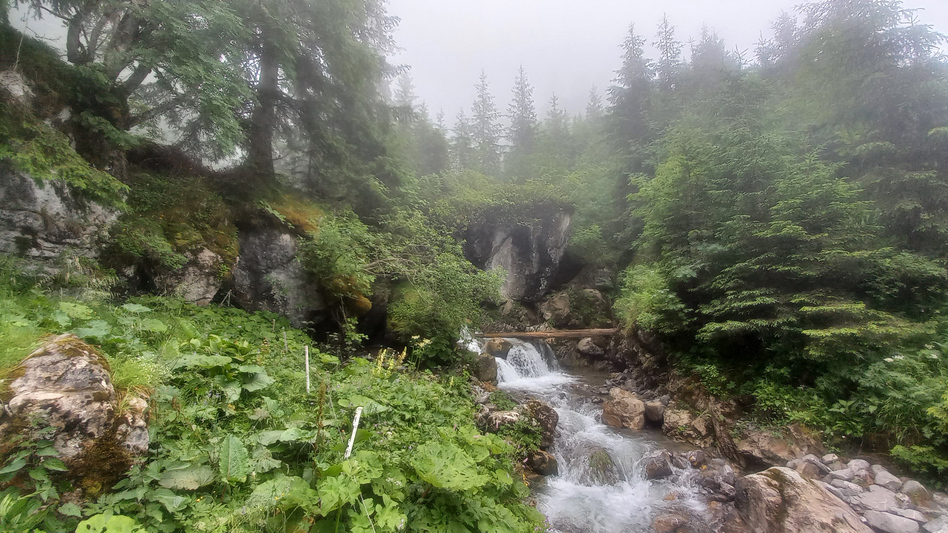 Foggy creek on the way up to the Pointe de Paray
The longer I continued climbing, the thicker the fog got. Breathing the moist, refreshing, and misty air is always a treat for the lungs. After cutting through a small alpine plateau, the foot of the Pointe de Paray was right in front of me.
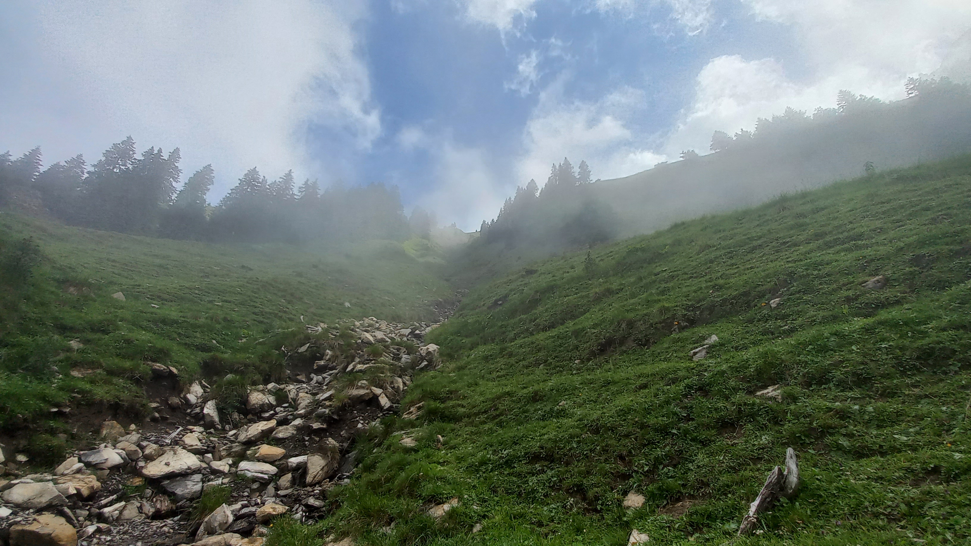 Steep slope to get onto the ridge which leads to the Pointe de Paray
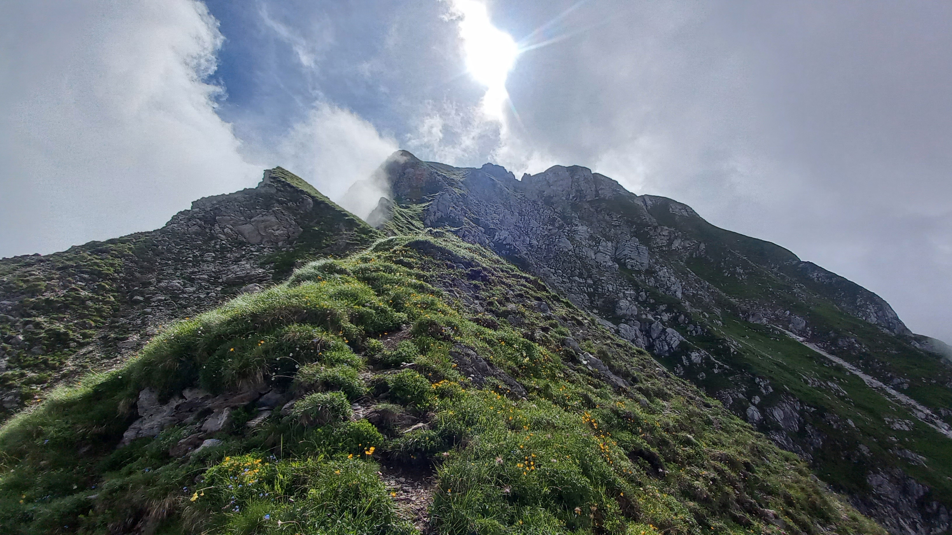
A rather steep and unstable gulley leads through some bushes and trees to the west-ridge of the Pointe de Paray. With every meter of altitude gained, the fog loosened up, until there were just a few large patches of it remaining. This made for some very scenic views.
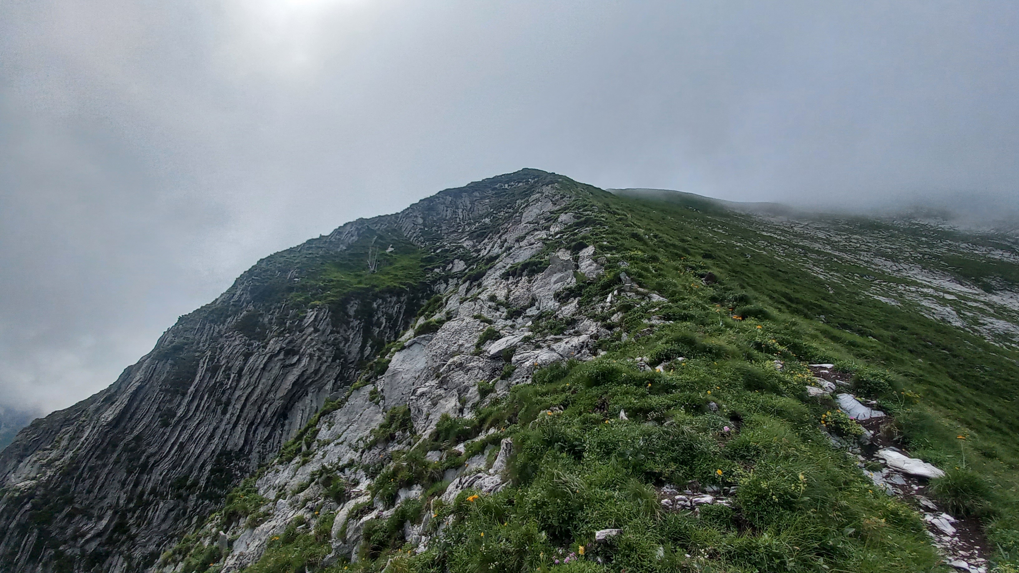
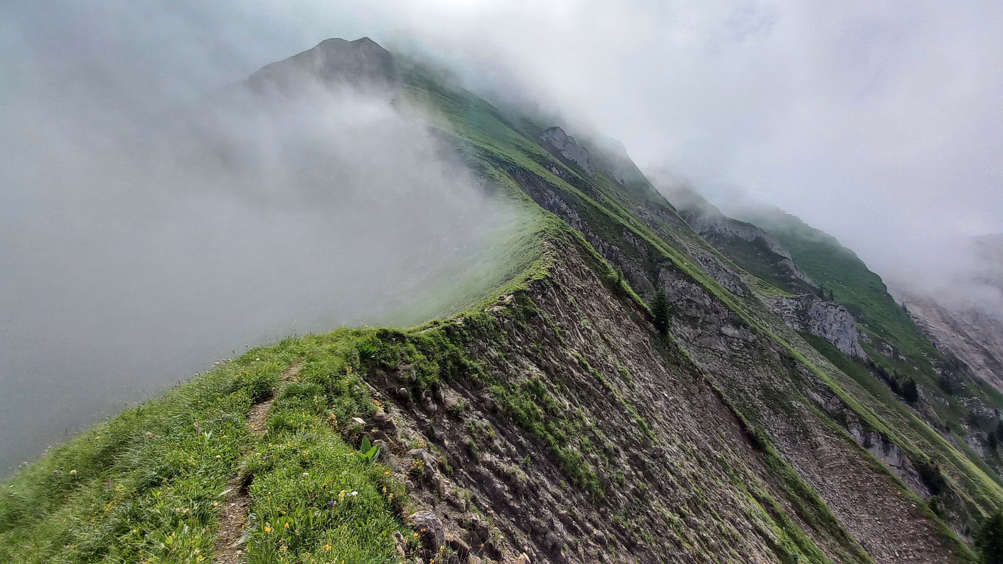 Beautiful ridge to the Pointe de Paray
 Sun rays piercing through the fog while approaching the summit of the Pointe de Paray
A short section which was somewhat exposed and required a bit of scrambling then lead me up to the Plan de l’Écri plateau, at whose southern end the Pointe de Paray is located.
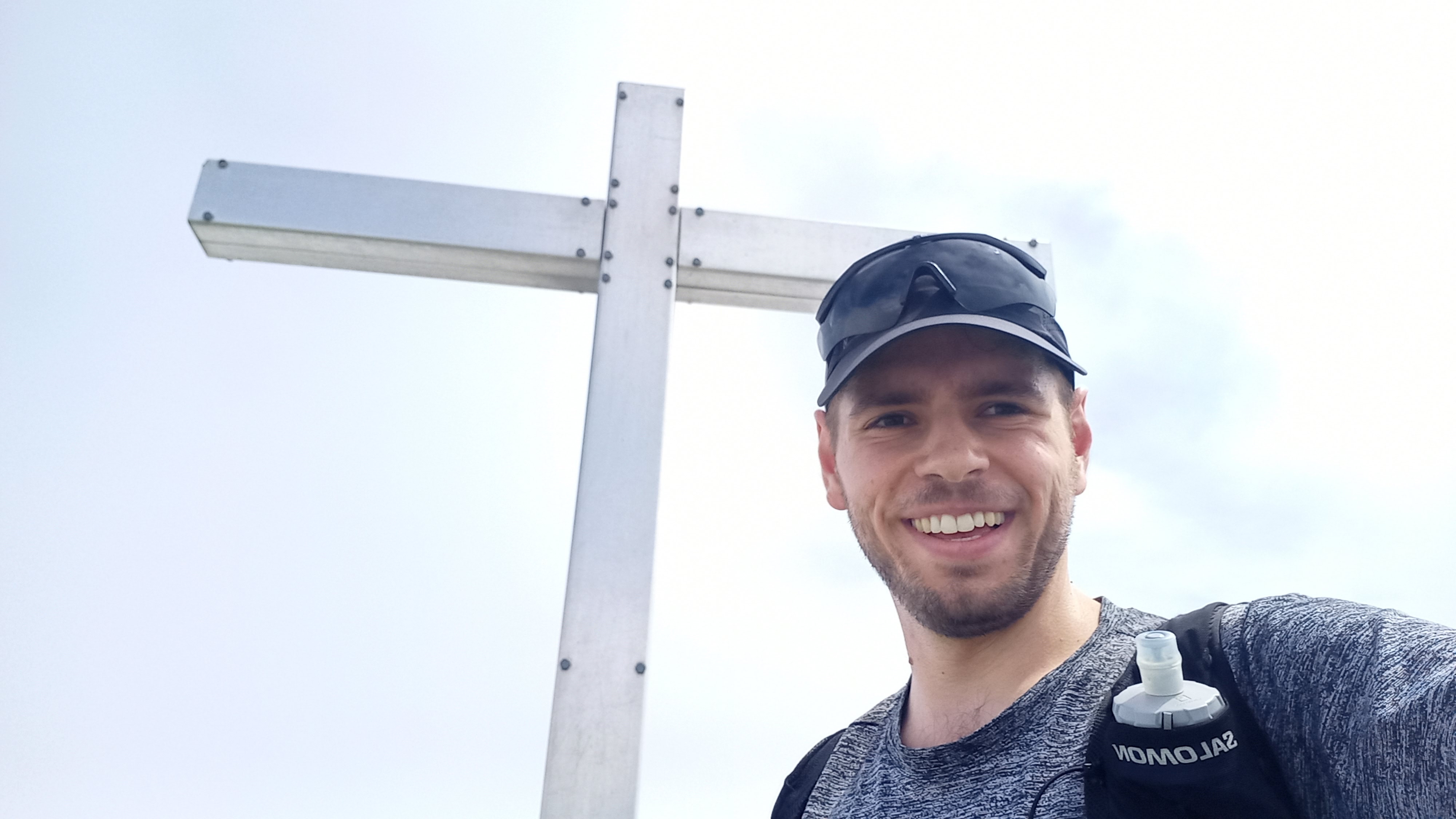
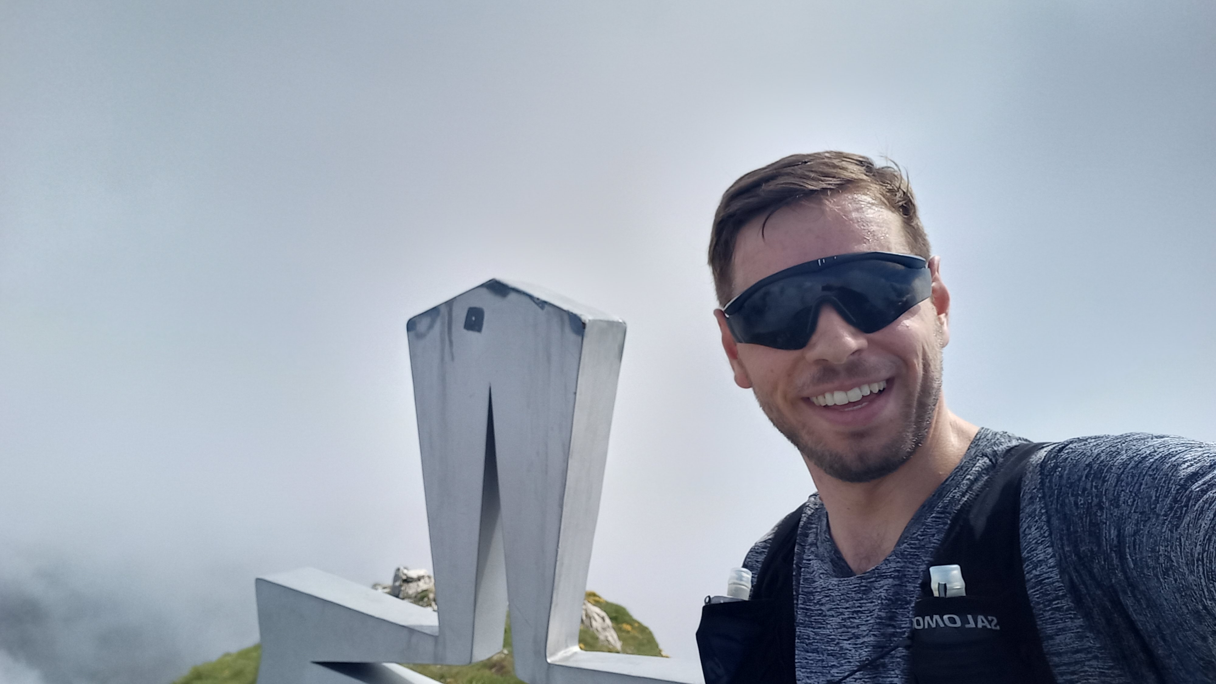 Arrived at the summit of the Pointe de Paray
Now, the fun part of this trail run started: the roughly two kilometer long ridge-traverse over the Vanil de l’Écri and all the way to the Vanil Noir awaits.
 The east-end of the plan de l’Écri
After what felt like only a few instants of following the ridge, the colorful summit-cross of the Vanil de l’Écri made an appearance.
 Arrived at the summit of the Vanil de l’Écri
Moving on from the Écri, a short descent on a snow-field lead me to the Plan des Eaux. Here, the fog again started closing in, making for a very mystical vibe. What makes these not so often frequented places quite unique is the wildlife which is for the most part undisrupted. On the Plan des Eaux alone, I must have encountered more than two dozen mountain goats which did not seem to mind a lonely trail runner passing by at all.
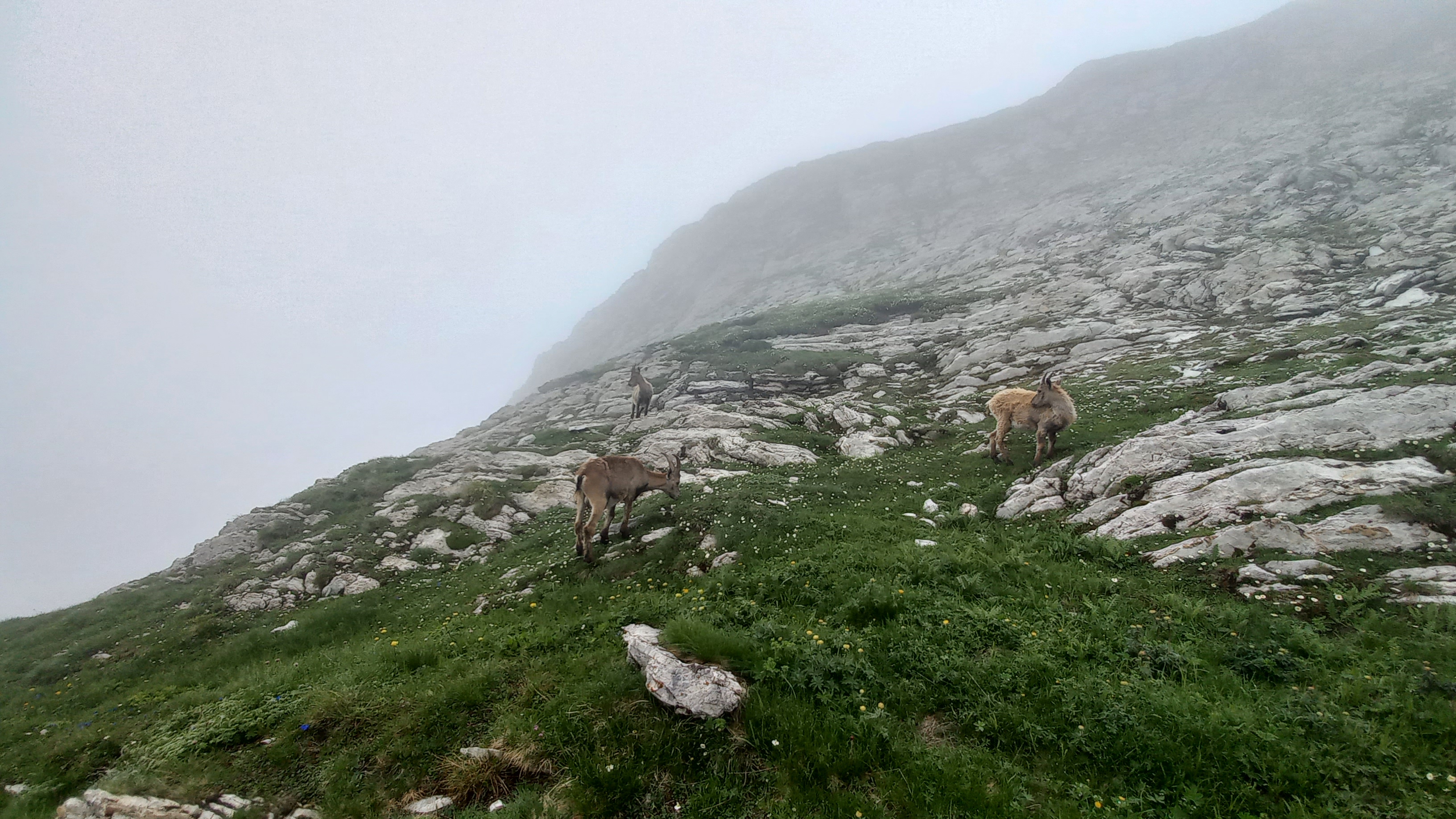 Mountain goats in the fog on the Plan des Eaux
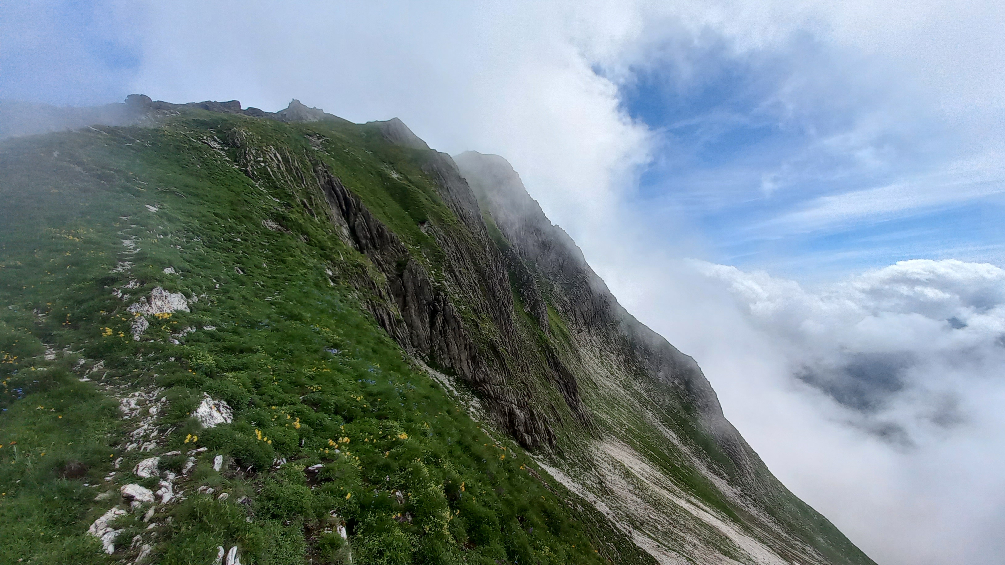
Not long after leaving the game behind, I reached the most exposed section of the trail: the south face of the Vanil Noir. Here, a tiny path rock-path intermixed with grass and dirt traverses the roughly 60° steep slope with a lofty drop of 200m awaiting the unattentive climber in case of a fall. Luckily, most of this section is equipped with a chain to hold on to, which greatly facilitates the passage.
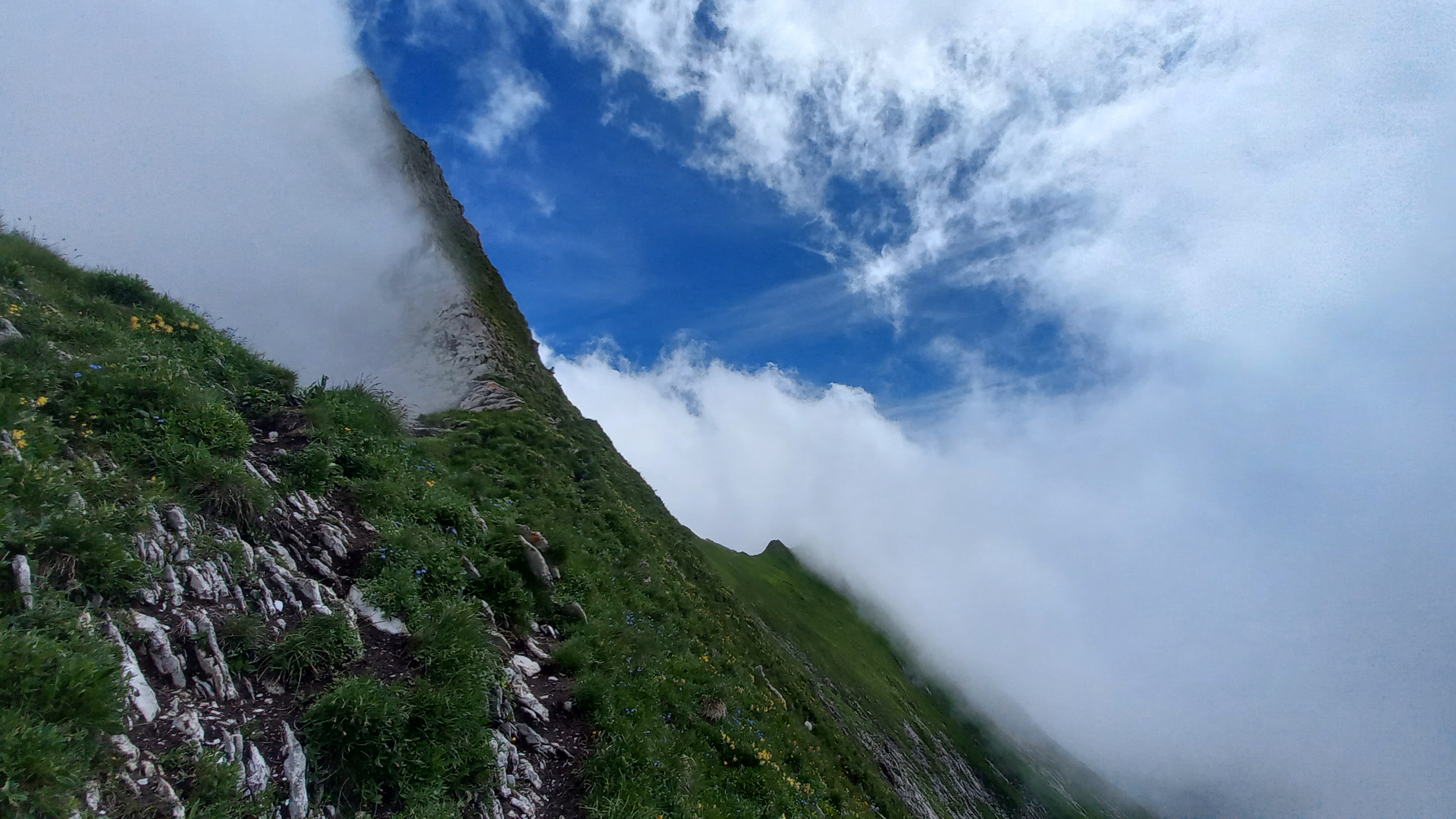 The steep south face of the Vanil Noir
Once its south face is crossed, an easy path leads directly to the summit of the Vanil Noir.
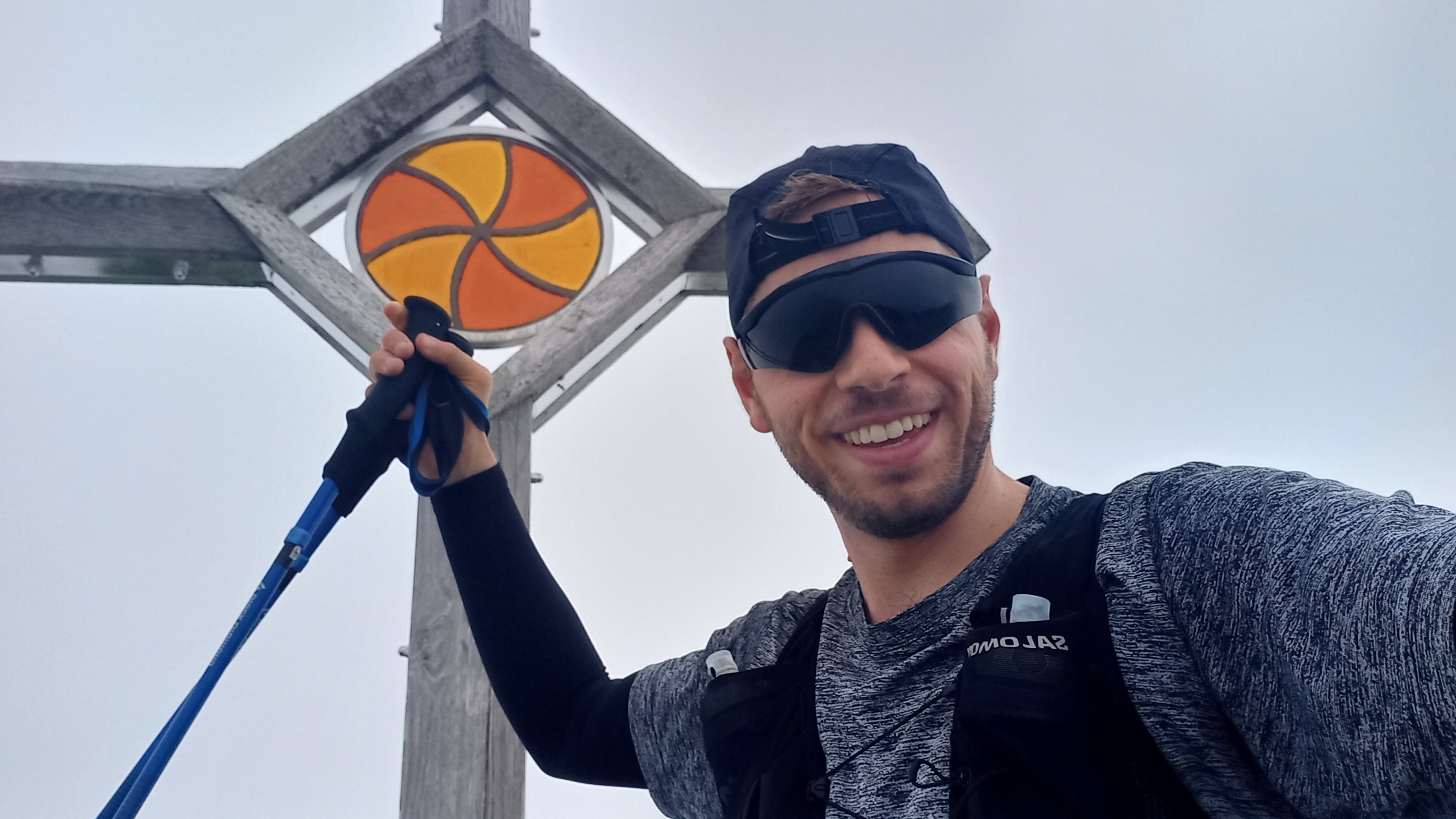
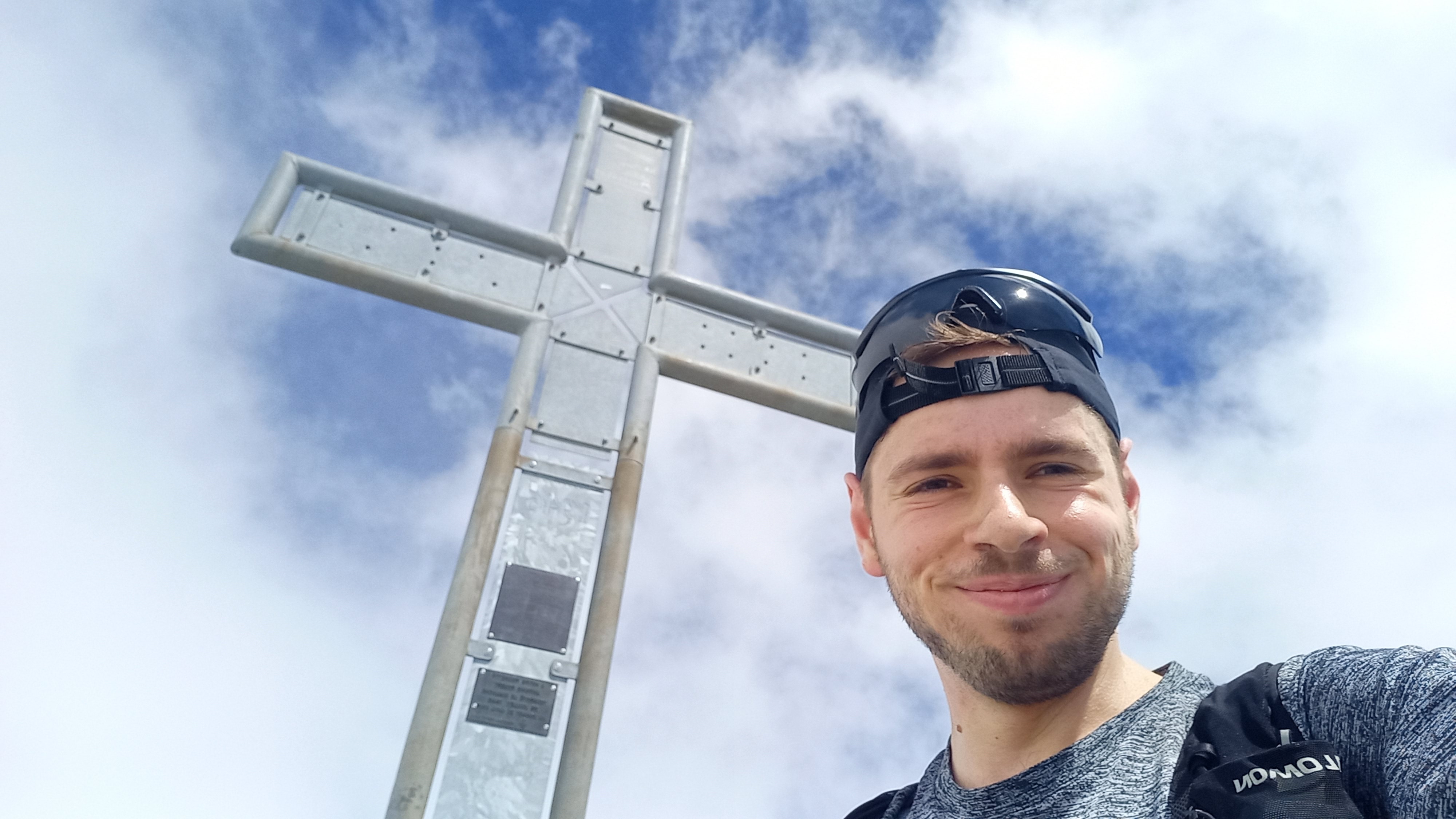 Summit of the Vanil Noir
On the summit awaited me two young women, which were doing the Vanil Noir in the opposite way than I did. After a small exchange, they tried to teach me that the section of the Vanil which still awaited me was harder than the one I just completed. Since I was already quite familiar with the route, I tried to convince them of the opposite, but eventually gave up and left them in their dillusion. I pushed on northwards for some easy scrambling along the north ridge of the Vanil. At the Pas de la Borière, a simple but slightly exposed bouldering lead to a cascade of rocky couloirs which finally mouth into a long flat slope which is still covered by multiple snow-fields. I stepped on the edges of those snow-fields with utmost care, since I already had to learn the hard way that collapsing snow-bridges can make for some painful falls, when I botched up my knee at the exact same place the year before.
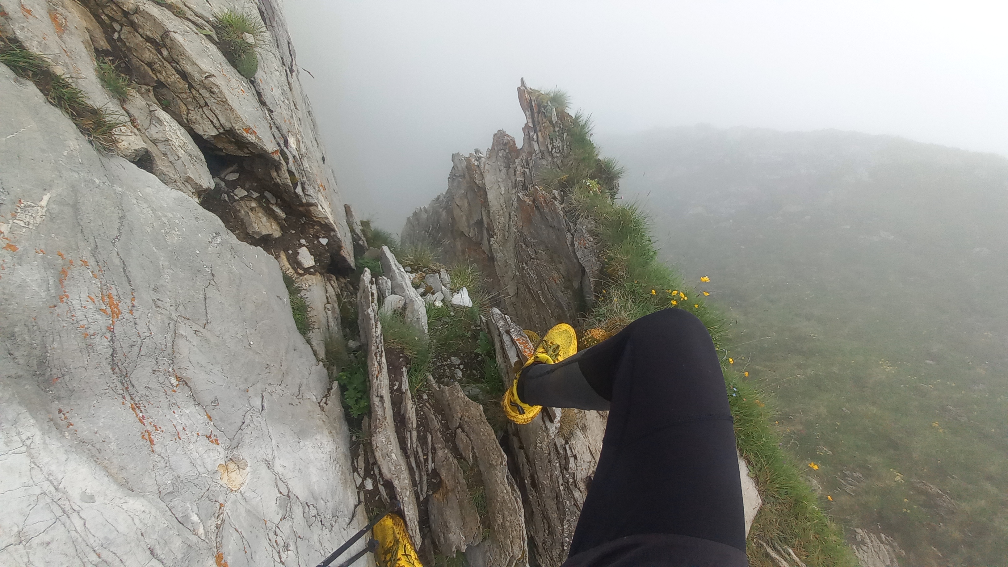 Exposed bouldering move at the Pas de la Borière
Now, a long downhill section followed. A beauiful single-trail past multiple cow-fields and the Les Marindes hut made for a fun and quick descent, which turned more and more into a mud-slide, as I approached the tree-line. Having thoroughly studied the map to avoid any doing any unnecessary kilometers, I thought I had discovered a short-cut to the last summit of the project, the Dent de Brenleire. However, as is often the case, what looks easy on a map is not quite as easy in reality. Hence, I had to descend a bit further than I would have liked to to circumnavigate a small cliff, before I could head straight up through a steep field onto the south-ridge of the Dent de Branleire.
 The south-ridge of the Dent de Branleire
I am not entirely sure if it was the growing fatigue, which made the ascent of the Dent de Branleire so demanding, or whether this section is actually challenging. Many big rocks which I tried as hand-holds turned out being brittle or could be pulled out with a single firm shake. Consequently, I was rather happy to reach the fourth and final summit of this project.
 Dent de Branleire summit
Finally, I could enjoy the nice and long and flat descent, of which the last chunk follows a road, to Im Fang where I would take the next bus home.
Actually, this is certainly not a unique configuration. For example, the Wildstrubel massiv, the Lenkerstrubel (3244m/10643ft), Mittelgipfel (3243m/10639ft), and the Grossstrubel (3243m/10639ft) are basically identical in height, and all forming an even larger mountain-chain. ↩