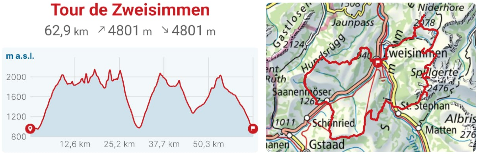
Tour de Zweisimmen
Zweisimmen, a small village embedded in the grassy hills of the Simmental, was known to host some of the earliest skiing competitions in the world. Among them was a legendary 50km endurance race, in which the skiers conquered the slopes of the mountains around Zweisimmen.
The Tour de Zweisimmen is my trail running interpretation of these races. I have been carefully studying the maps of this region for more than a year to find an interesting and suitable route. On October 20, my late grandmother’s birthday, I finally could embark on the journey to conquer all major summits surrounding Zweisimmen in a massive 65km/40mi loop. Summits, which have been familiar to me already from a young age, since Zweisimmen is the village I grew up in.
A foggy morning
That day, my alarm clock rang at 3:55am. I quickly squeezed some breakfast cereals down my throat and gulped down a big glass of water. At 4:20am I headed out to the cold and foggy alleys of Zweisimmen. In these small villages, the calm morning hours, where just some remote cow bells and the river Simme are audible, are particularly enjoyable. I followed the river for around 3km/2mi before the first long ascent took over. After unfolding my trekking poles, I noticed that the locking mechanism was again malfunctioning, which meant I had to leave one of my poles at a shorter length than the other. For the whole day. After gaining some altitude, the fog was replaced by clustered clouds, through which the soothing light of a recent full moon peeked.
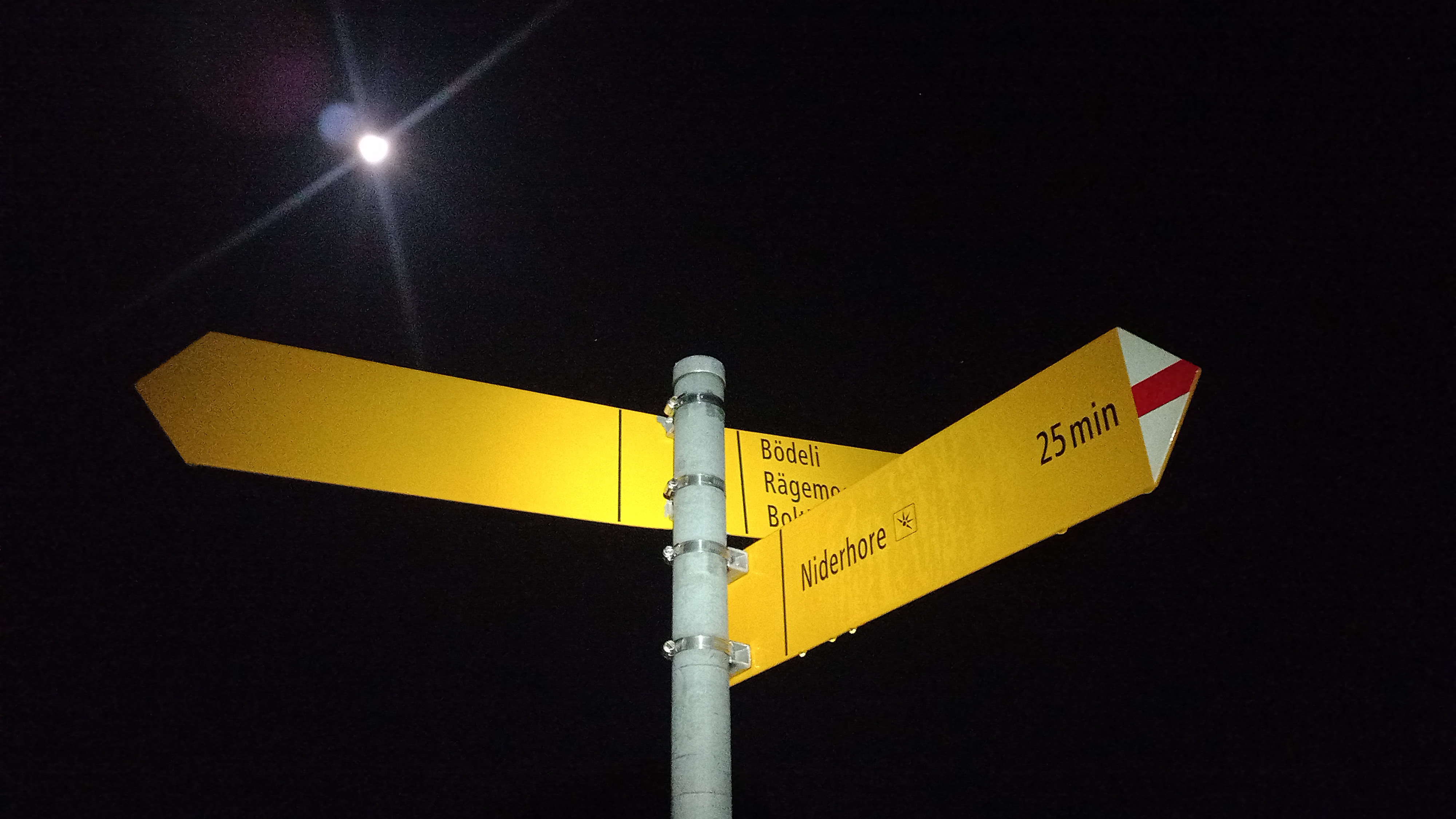
 Moon behind some clouds in the early morning
The first ascent was not particularly enjoyable. It was hard to navigate through the mix of tall grass, tree roots, mud, and rocks in the faint light of my headlamp. After circumnavigating a hiking path which was recently destroyed by a landslides, I reached the starting point of the first ascent of the day. This will be a recurring theme throughout this run. Since the majority of the peaks is only accessible from one side, most of the ascents are accompanied by a descent along the exact same path I took on the way up.
 Path marker announcing the approach of the first summit
The first summit, the Niderhore, is reached by following a rather flat and easy hiking path along some alpine meadow fields. But what was easy on the way up, turned out to be quite tricky on the way down. The not too steep gradient tempted me to make some progress by running this section. However, the wet, frozen grass intermixed with a few small rocks and with the low vision in the dark morning hours, made running nearly impossible. Soon enough, the path flattened out, and I could put the foot on the gas pedal a bit harder. I passed by the Seebergsee, a stunning mountain lake surrounded by hills like a caldera which is packed with tourists at daytime. Unsurprisingly, at 5am, I was the only person admiring the reflection of the moon light in the lake.
What followed was a gentle uphill section through the Stiereberg but also what I have tried to avoid at all cost: One moment of absentmindedness left my right foot in a big puddle of dirty water. The cold water sent a shudder through my whole body. But whatever. There is worse.
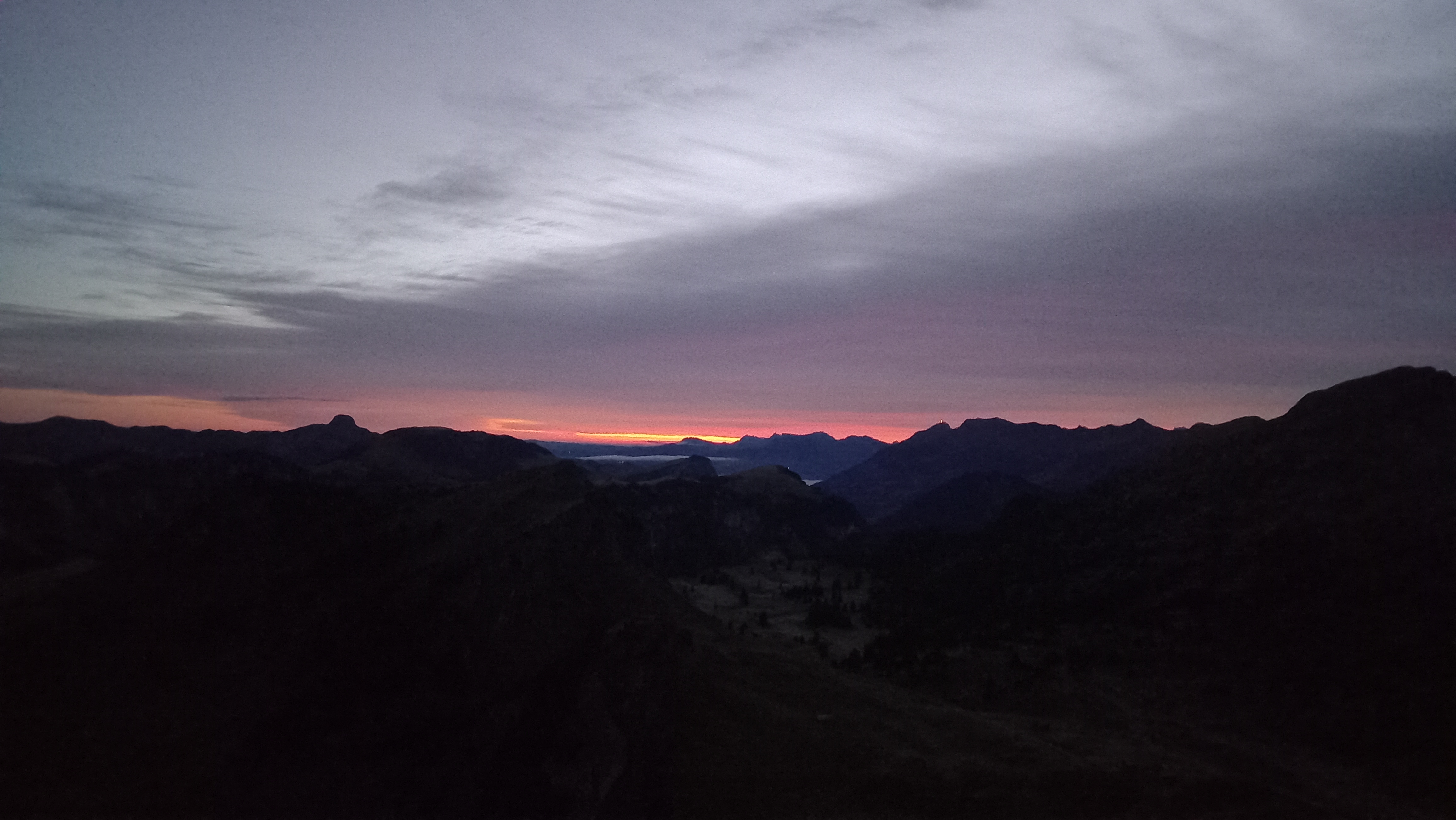
To access the next summit on the list, the Chumigalm, I would almost have to do a full turn around this mountain to reach its steep and grassy west flank. The further I went up, the frostier the tall grass became. At this point, I could not feel my feet anymore due to the cold and wet penetrating through my running shoes. I was happy to reach the summit just minutes before sunrise, to enjoy the first sun rays appear in a fiery red color at the horizon to put an end to the dawn.
 Topping out on the Chumigalm just before sunrise
The descent from the Chumigalm was hilarious. The steep and frozen grass slope made it nearly impossible to run down. After falling a handful of times, and at each time slipping a surprisingly big distance down on my side, I was back where I started the ascent from. I quickly cut in a straight line through the rocky fields to reach the Fromattgrat for sunrise. Disappointingly, the cloud coverage worsened in the direction of the rising sun, which prevented some more stunning views from being had. Nevertheless, turning my head around I still got to witness a unique sight: the two valleys which merge in Zweisimmen were covered in fog, making it look as if they were covered by one big glacier.
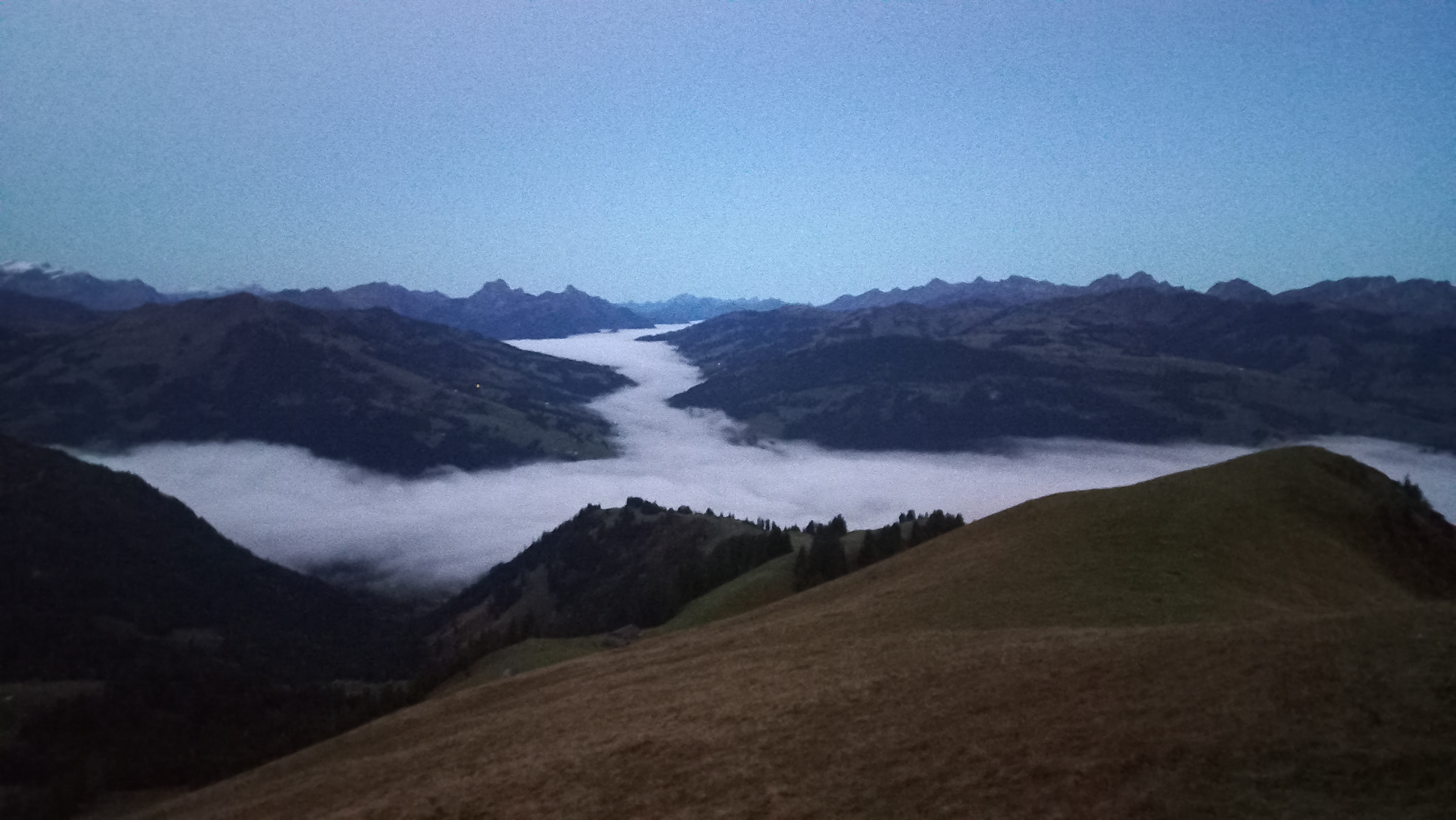 Fog covering the valleys like a glacier
After stumbling over some barbed wire I just barely managed not to spot in the ongoing darkness, I passed by the Fromatthut and attacked the traverse below the Vorderi Spillgerte.
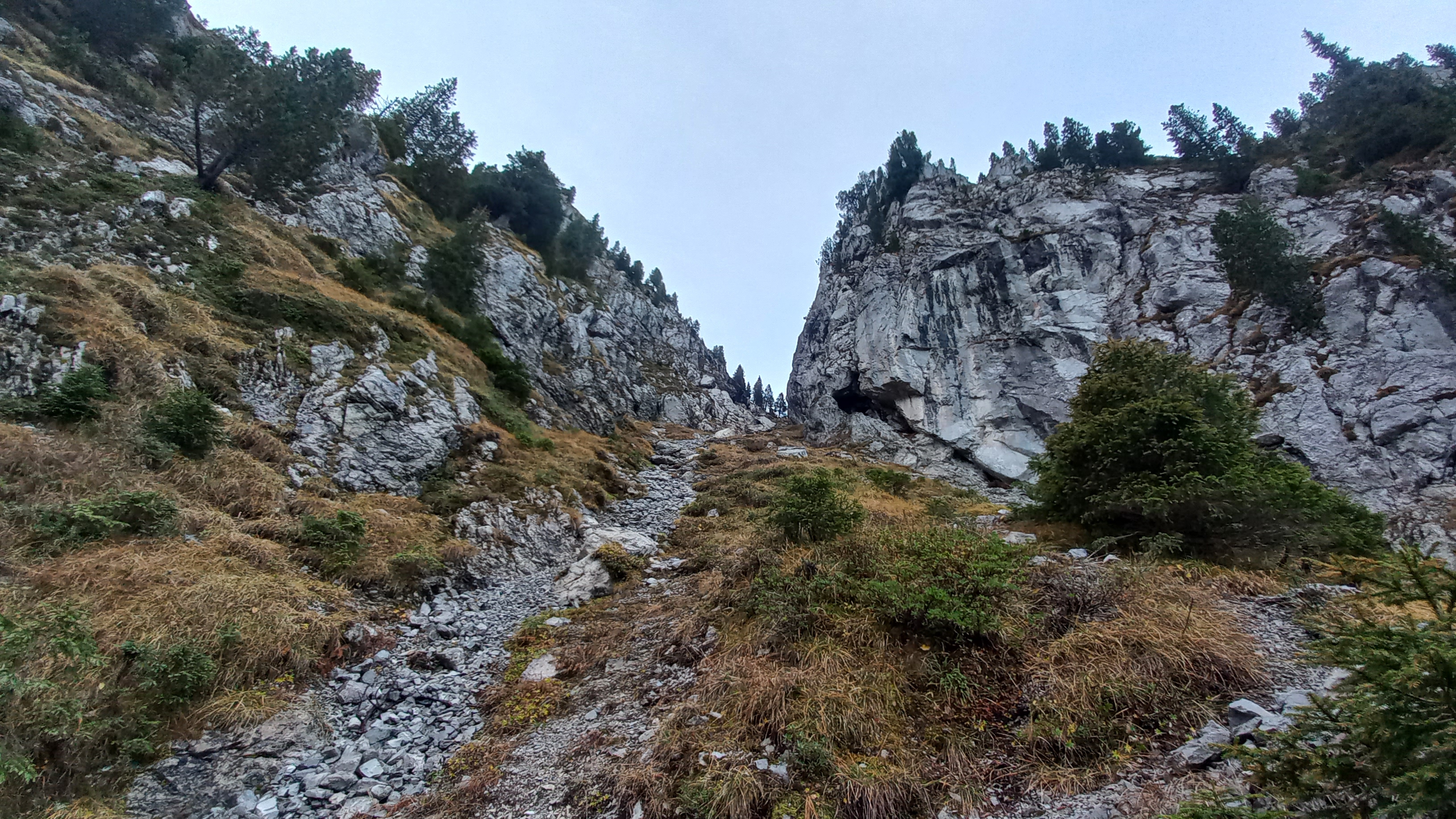
The crux
The Vorderi Spillgerte would be the only slightly challenging section of this run. At 2250m/7391ft, it was both the highest and most technical summit of the day. It is usually accessed through a steep north-facing couloir.
 View up the steep couloir to the flank of the Vorderi Spillgerte
The view down the couloir is always slightly frightening. A fall cannot be thought of. I remember a day around two years ago where I tried to stick to the left-hand side of the rocks, but almost started panicking when I realized I stood directly on top of a field of very loose scree.
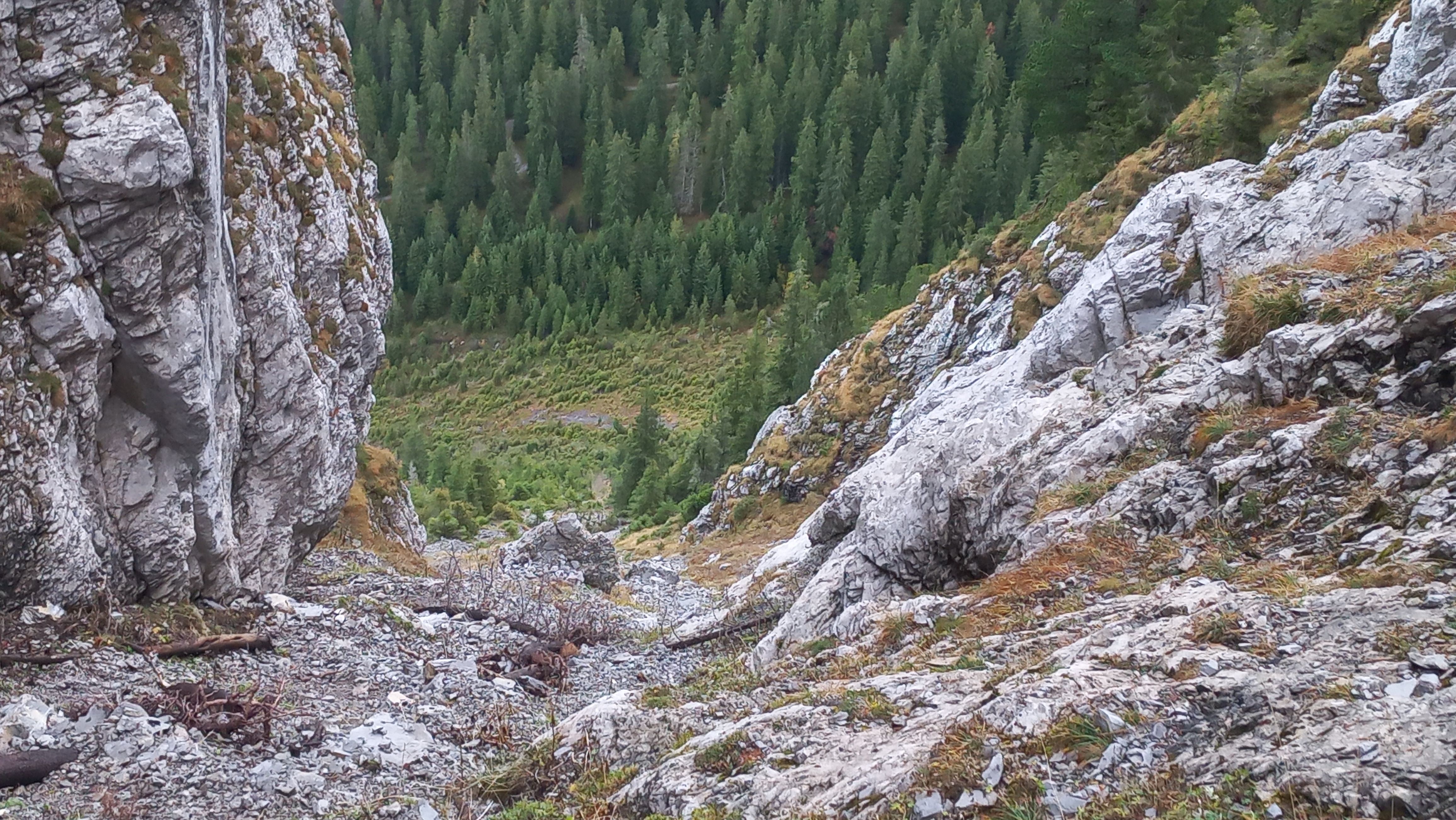 Scary view down the couloir
After getting out of the couloir, the Spillgerte is then summited from the south, first up another scree field, and subsequently its grassy west flank which required some easy climbing moves over small rock bands to be surmounted.
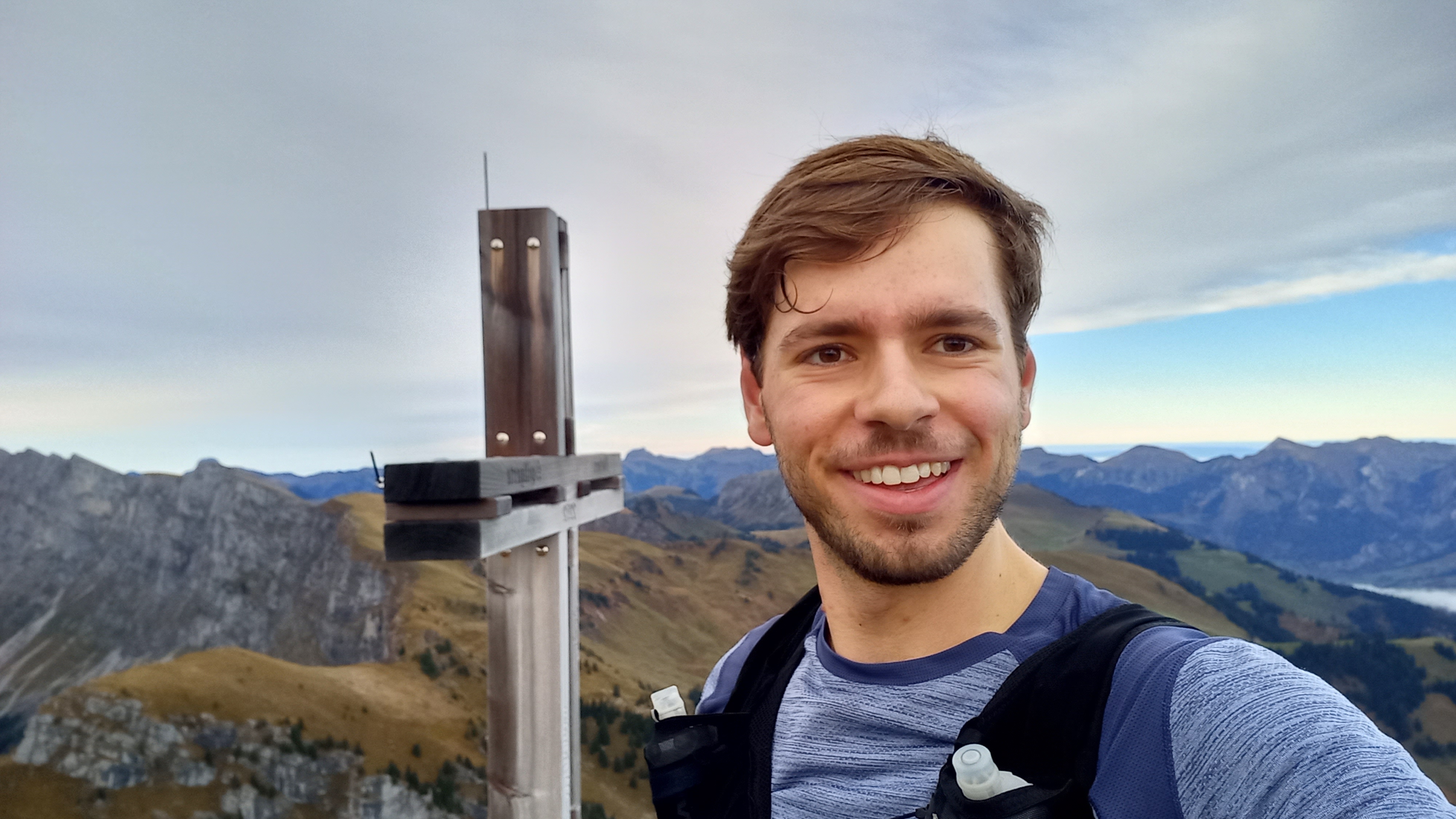 Relieved to have reached the summit of the Vorderi Spillgerte
The descent from the Spillgerte was quick, and I soon found myself on a rarely trodded path which slowed me down significantly. The view back on the majestic Spillgerte was breathtaking. From a far, it looks almost unbelievable that this mountain is hikeable.
 The steep west flank of the Vorderi Spillgerte
Subsequently, I quickly ran up the Mieschflue, the last of five summits to the east of Zweisimmen.
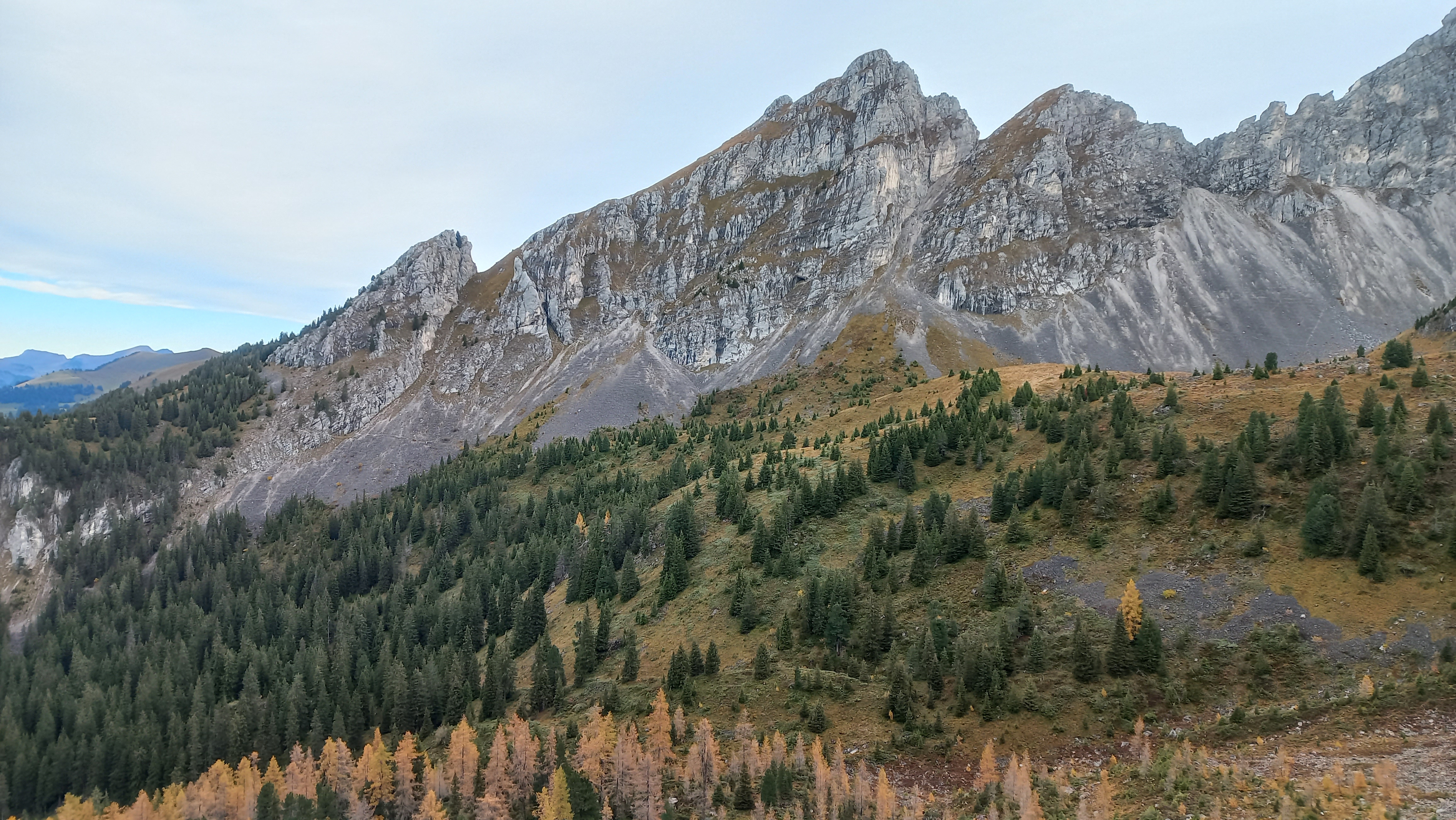
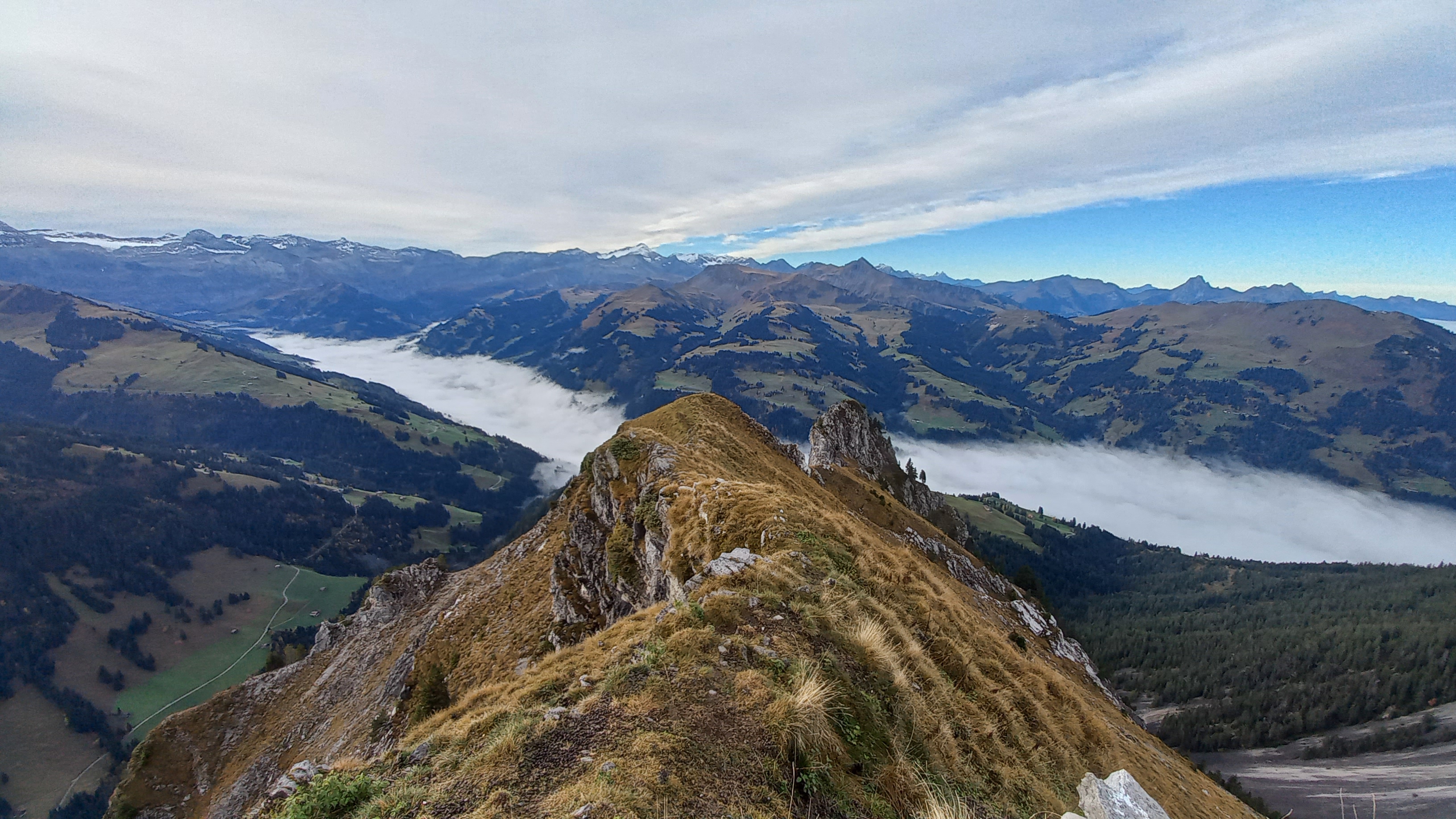 Stunning view over the Mieschflue ridge
What followed was a rapid dive down into the valley and into the fog.
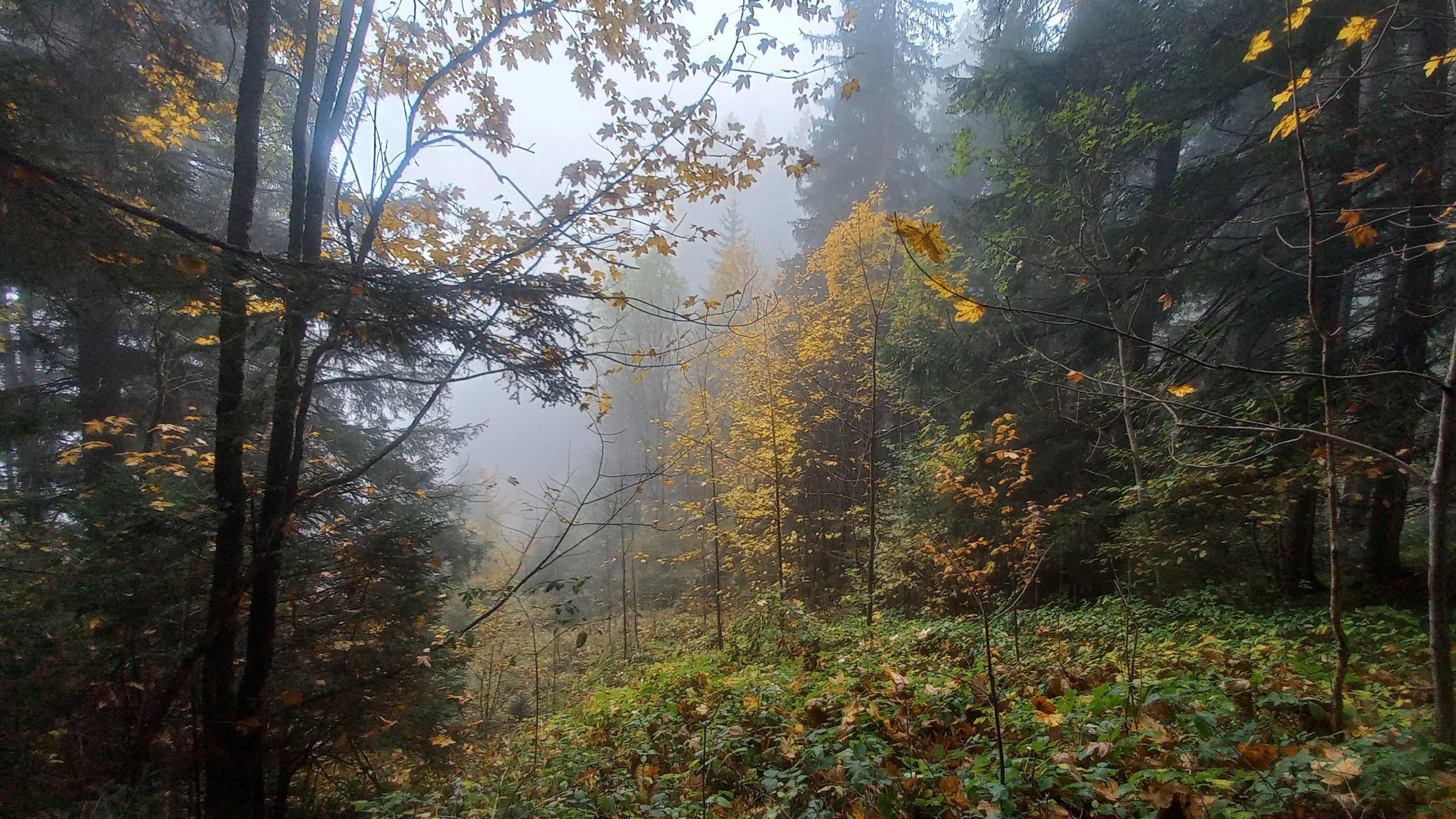 Foggy forest down in the first valley
Closing off the loop
At around 10am, I reached the sleepy village St. Stephan, which was still densely wrapped in fog.
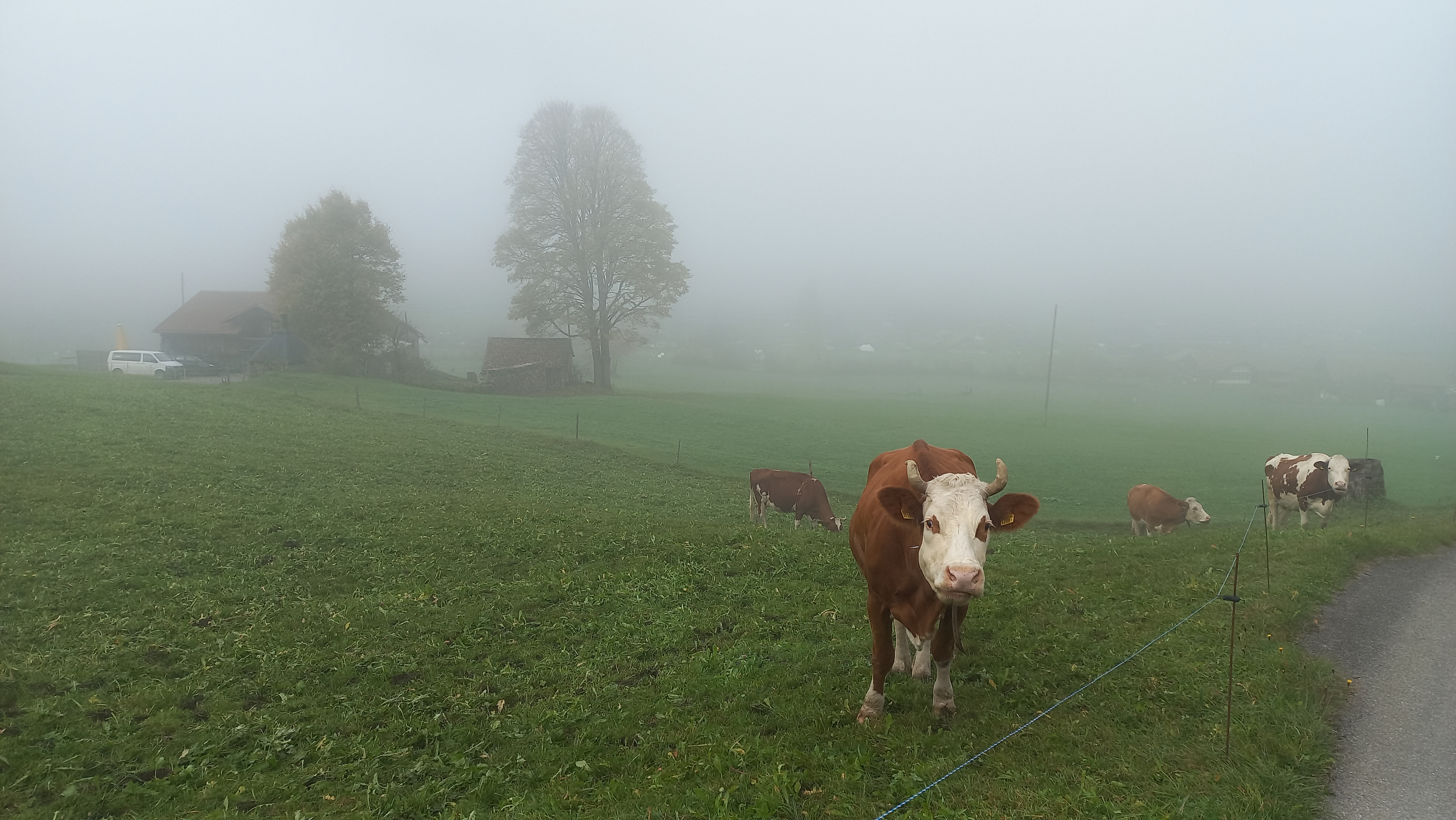 Cows grazing on the fields in the valley
I made sure to quickly start moving up again to get out of the fog. It was not too motivating going up the same slopes I usually ski down in winter in a fraction of the time. But at least these slopes were rather flat and good progress could be made. I overtook a couple of hikers to reach the summit of the Rinderberg, the mountain on which I learned skiing. A beautiful view presented itself from up there.
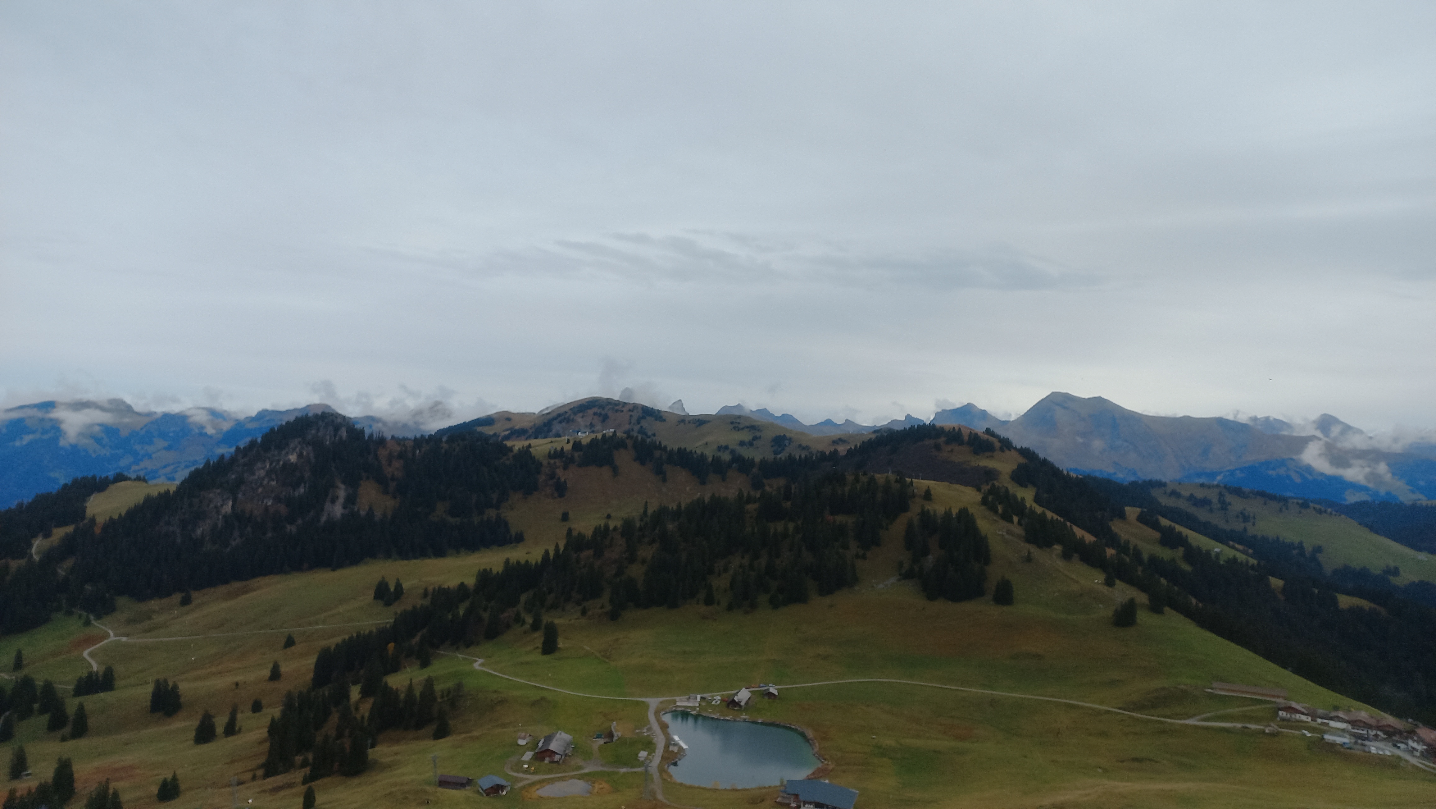
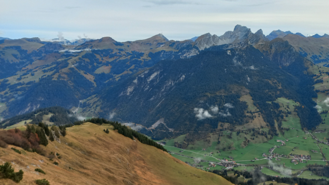 View on the five summits I could get done in the morning
What came was the most runable section of the day. The ridge hike form the Rinderberg over the Horeflue to the Horneggli. It is interesting that what used to be an exhausting full-day hike with my parents when I was a child, was now just an insignificant fraction of what I had planned for the day.
 Summit of the Horeflue
I dove down into the valley a second time, hit up the grocery store in Saanenmöser to buy a bottle of coke and some Ovomaltine chocolate from a store, and subsequently attacked the last uphill path. It would take me to the long ridge on which the Hundsrügg, the last summit of the day, awaited me.
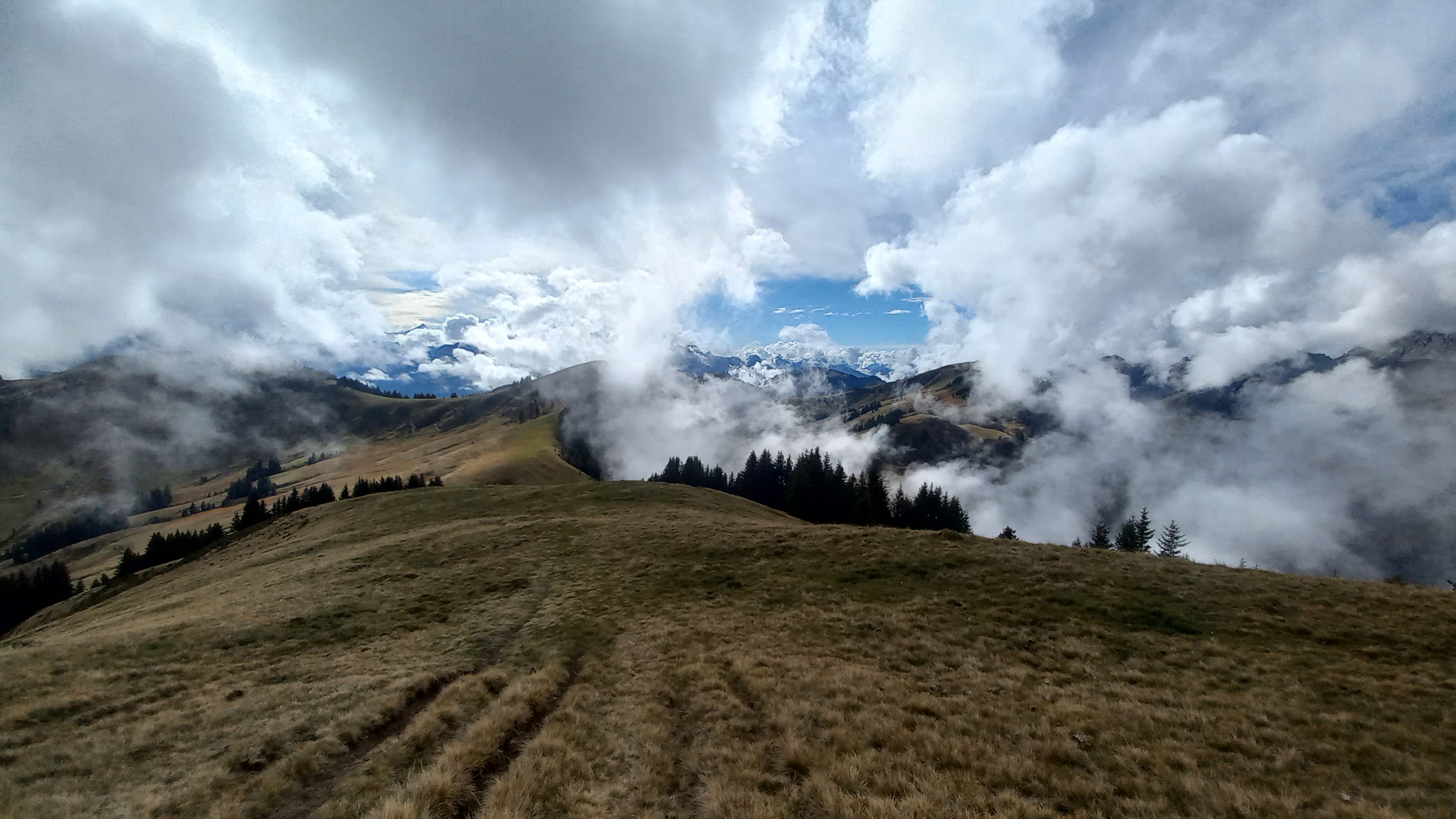 Stunning cloud formations
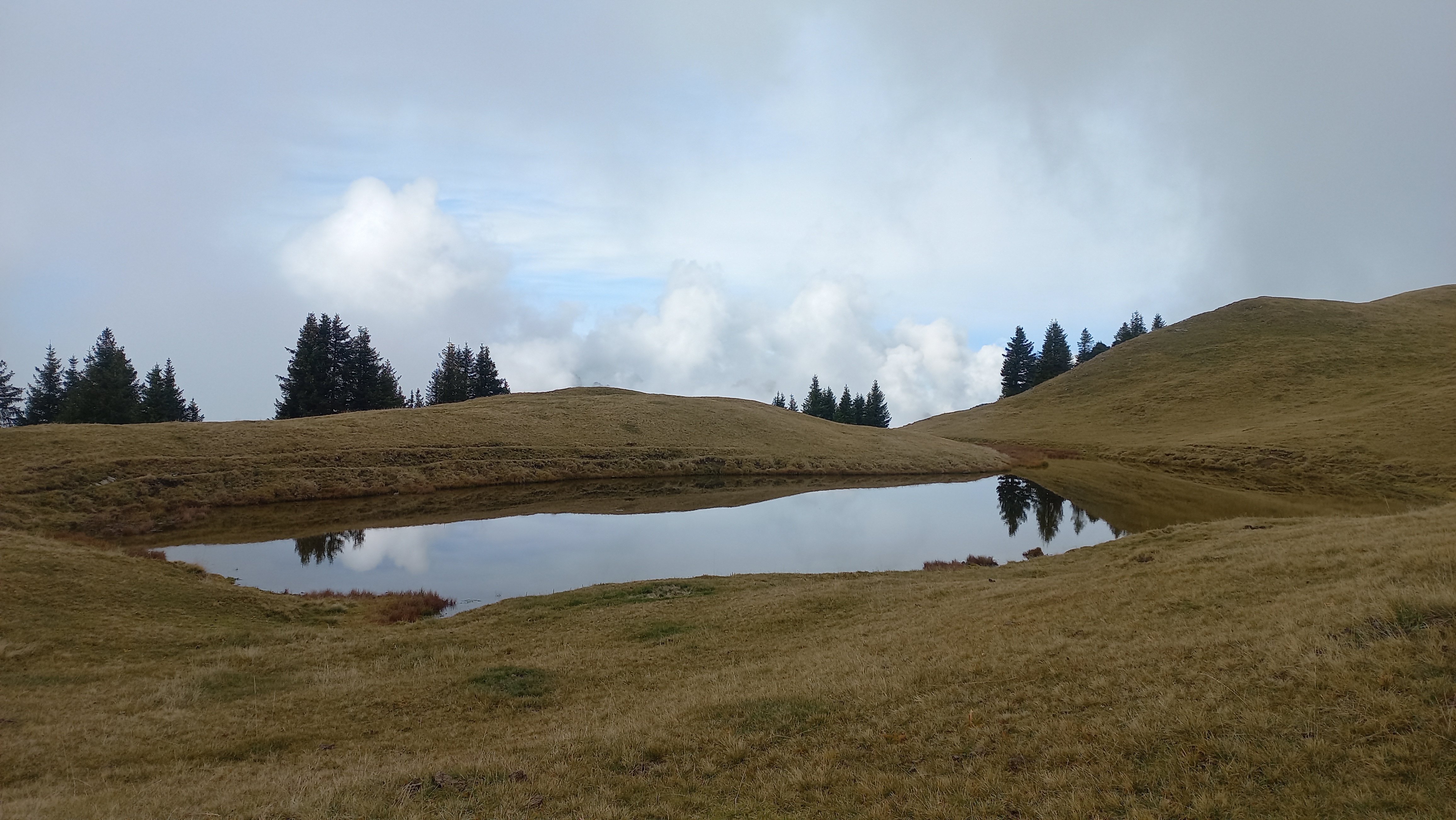 Picturesque lake just before the Hundsrügg
I was glad that after a long day the summit of Hundsrügg finally appeared out of the fog.
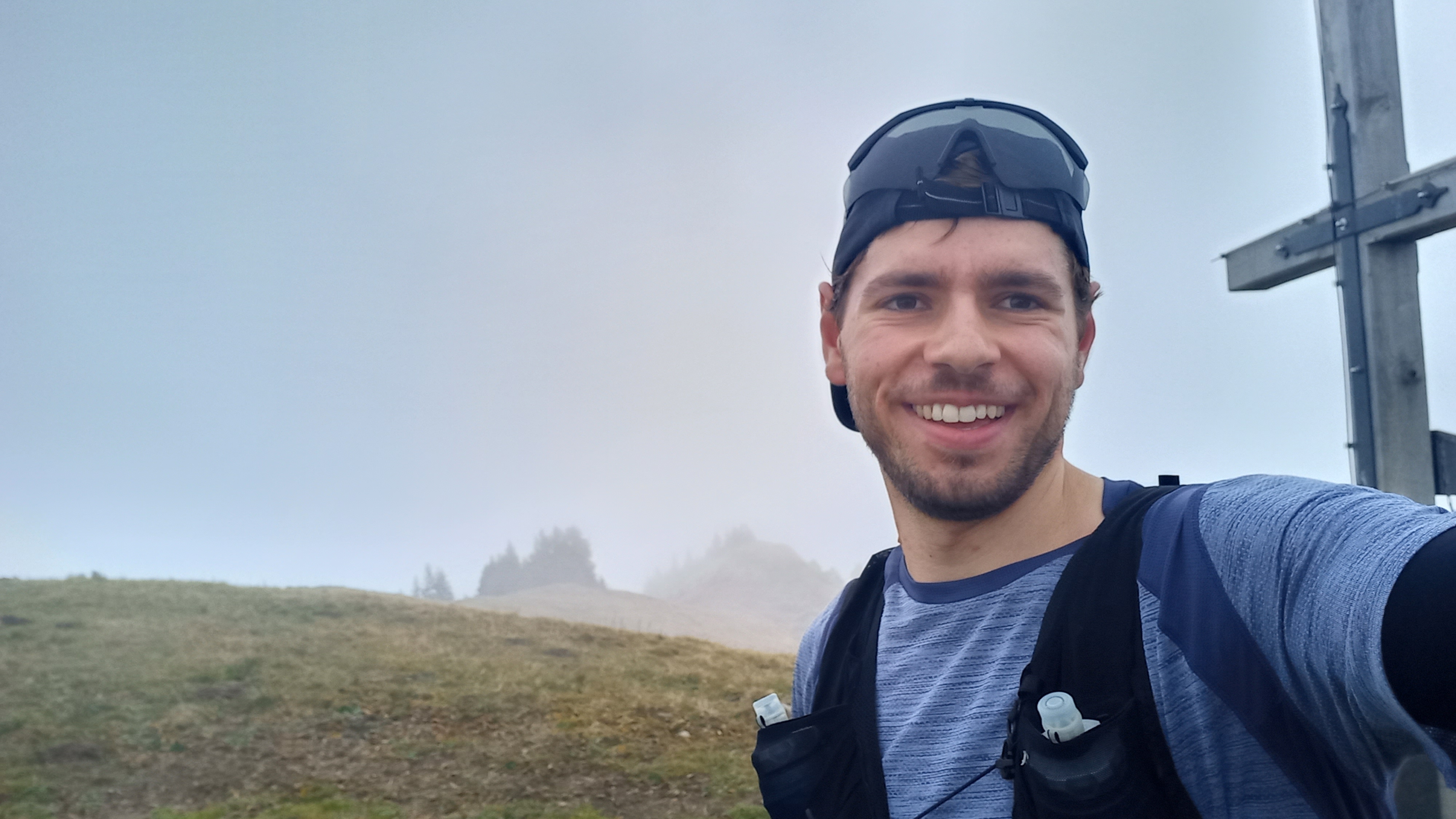 Visibly releaved to have reached the final summit
Since I had to be back down in the valley at 4pm to not be late for the assembly of the ski club, I blasted down the slope of the Hundsrügg, past some hikers and trail runners, straight onto the road which lead me quickly over the Sparenmoos. One last descent down the forest brought my back to Zweisimmen, where I arrived just on time.