High Tatras
A few months ago, I found out that I could present my latest research in a poster at the Foundations of Computational Mathematics 2026 workshop in Vienna. As usual, I consulted the maps of the region, and was happy to find out that the Tatra Mountain Range, a place I wanted to go to for some time, was just a five-hours-long train ride away from Vienna. Hence, another adventure could be added to my growing list of post-conference trips.
The stay in Vienna
The stay in Vienna was relatively pleasant. However, besides one longer trail run along the Danube, traversing the hill chain north of Vienna from the Leopoldsberg to the Hermannskogel, I stuck to the treadmill because of time and motivation constraints.
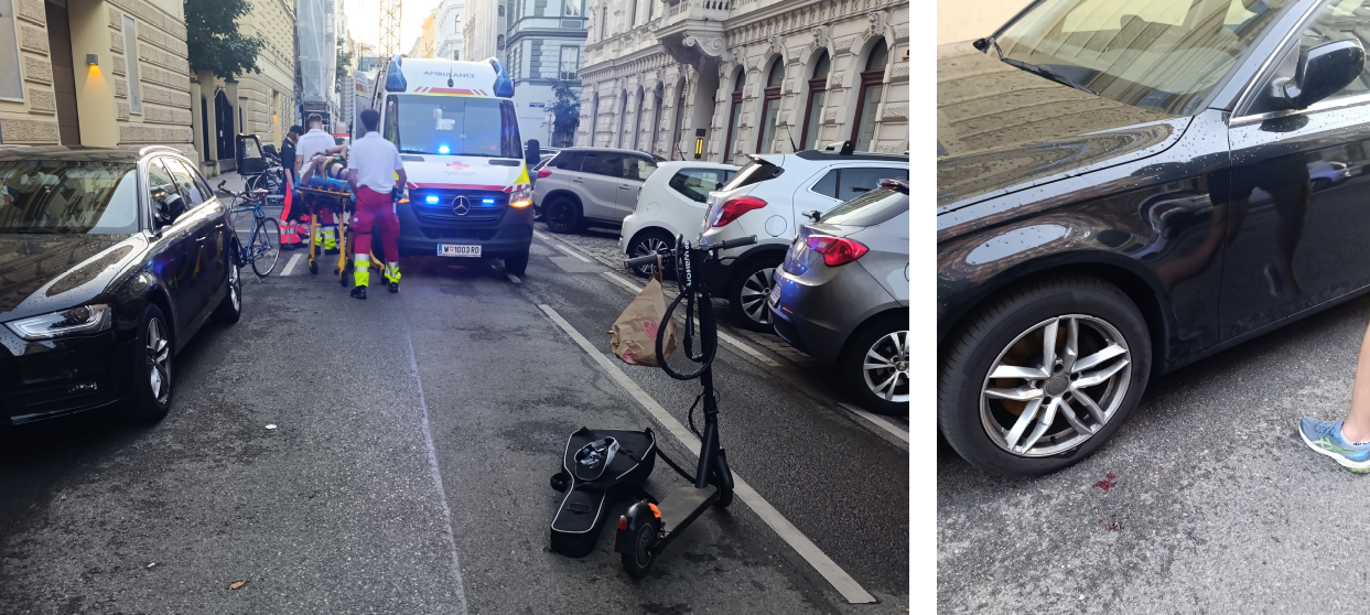
On one of the evenings, while walking back home from the conference, my colleague Nian and I heard a loud bang behind a car parked right next to us. We hurried over to see what had happened, and saw an unconscious middle-aged man lying on his side next to a car he must have crashed into with his electric scooter. I immediately bent over the guy and saw that he was bleeding from his face, upon which I instructed Nian to call emergency services. I did not detect any signs of respiration, so I addressed the guy loudly. After unsuccessfully pinching him a couple of times, I had to risk carefully tilting his head backward and supporting it with my backpack. Subsequently, he started snoring, which I was glad to hear. Since there was not much else to do, I stabilized his body and waited. In the meanwhile, a few passersby came and offered their help, before the rescue services arrived after around 10 minutes. He slowly regained partial conscience and was carefully loaded into the ambulance which brought him to the hospital. What an exciting evening!
But after six long days of listening to presentations and talking with fellow scientists, I was happy to say goodbye to Vienna and take my train eastwards into Slovakia.
The projects
During the train ride, I came up with the following plan for the three days, counting from Sunday noon to Wednesday noon, I had in the Tatras:
| Date | Activity | Distance | Elevation gain |
|---|---|---|---|
| Sun, July 19 (pm) | Kriváň (on Slovakian Euro coin) | 20km | 1’250m |
| Mon, July 20 | Rysy (highest Polish mountain) and the Polish Tatras | 43km | 2’600m |
| Tue, July 21 | Gerlach (highest Slovak mountain) and Kôprovský štít | 38km | 3’000m |
| Wed, July 22 (am) | Predné Solisko loop and ascent | 18km | 1’400m |
| Three days (70h) | Total | 119km | 8’250m |
Quite an ambitious plan to acquire almost an Everest worth of positive and negative elevation gain and such a long distance on notoriously technical terrain. Given the long days, I aimed to only carry the bare minimum on me. Well… The bare minimum, and my camera.
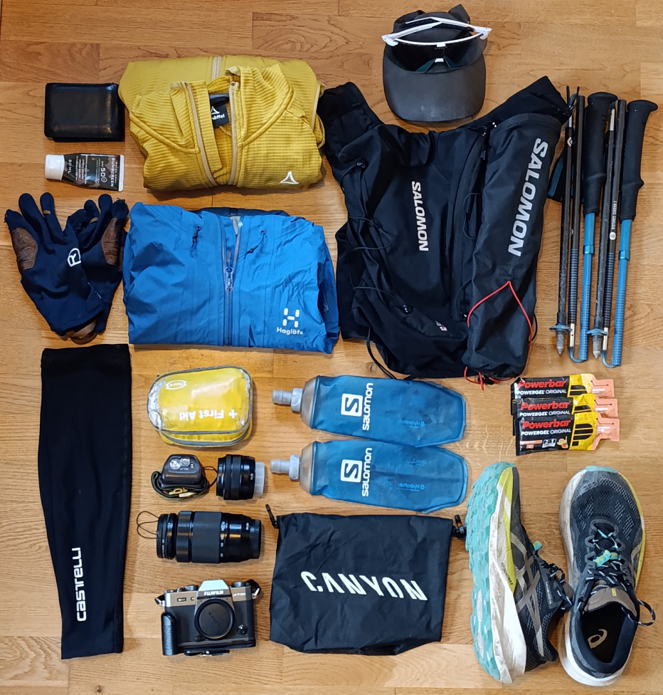
There were three things I was mostly scared about: Having issues on the Polish side, with no easy way back to Slovakia; Running into a brown bear—the deadliest bear species in Europe—with around 100 roaming the Slovak High Tatras, especially at dawn, which also happens to be the time I usually set out to make some progress; And climbing Gerlach, which is—supposedly—illegal, unless in company of a certified mountain guide, due to its technical and navigational difficulty, which has already led to hundreds of deaths.
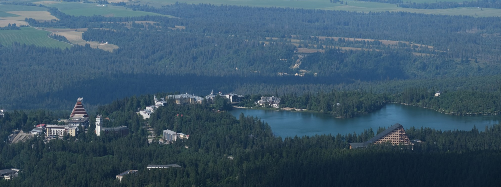
During my time in the Tatras, I found accommodation in Štrbské Pleso, a holiday resort located on the shores of a mountain lake, which is termed pleso in Slovak. Štrbské Pleso has many winter sporting facilities, such as ski slopes, two ski jumps, and a cross-country track system. It has hosted some notable international winter sports competitions, such as Universiades, ski jumping World Cups, and ski jumping Youth World Championships. In summer, it is the perfect starting point for some of the most interesting hikes in the Tatras.
Day 1: Kriváň
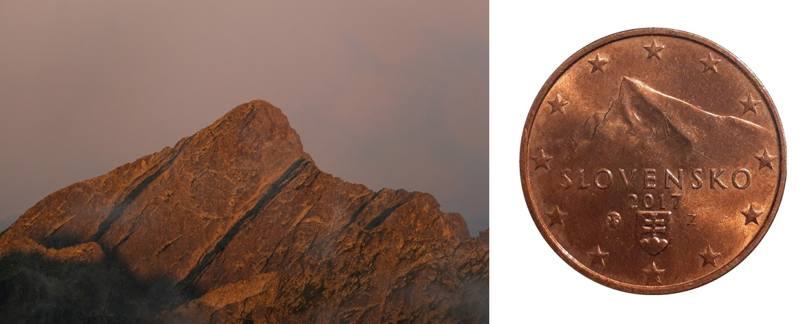
Elected as Slovakia’s most beautiful mountain many times, this stunning mountain is so popular that it is even featured in Slovakia’s 1, 2, and 5 cent Euro coins. Its proximity to Štrbské Pleso immediately caught my attention, and it seemed like the perfect warm-up trail run to do on the first day.
Unfortunately, the weather forecast did not look promising for that afternoon. After a five-hour-long train ride from Vienna, I arrived at my hotel just before lunch. Worried about the thunderstorm-warning at 2pm, I hid my backpack below the hotel and immediately attacked the trails towards Kriváň. A tough start, as my muscles were feeling quite tight from all the sitting around the past week. What started with a long traverse on exceptionally well-made rocky trails turned into steeper alpine trails, and eventually ended in a few slightly exposed scrambling sections towards the summit.
Initially, I was surprised to not encounter any people coming down from the summit. However, by and by, I came across more and more people—likely the first batch of hikers who started early in the morning—who I perceived to give me weird stares. I knew I was cutting it very close before the storm. To my big surprise, I still overtook a handful of rather inexperienced people higher up on the mountain. I was slightly worried about them, but quickly summited and enjoyed the carefully placed rocks which made running downhill a pleasant experience.
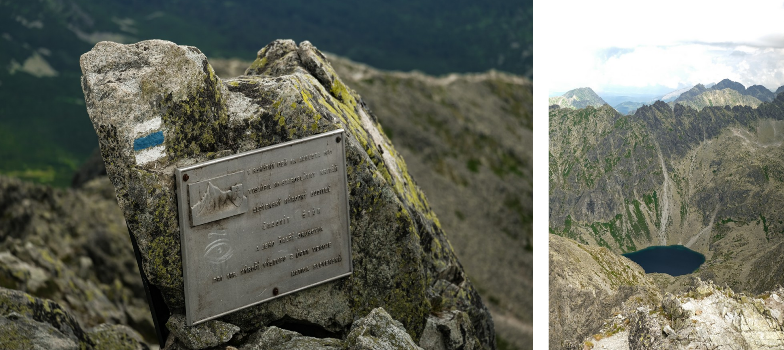
And the forecast was right; at 2pm the first drops of rain fell, and an hour later a huge thunderstorm rolled over the Tatras, reminding me of how relentlessly the weather can change in this region.
20km | 1’240m+ | 3h15 GPX Strava
| Endurance | ★★★☆☆ | Exposure | ★★☆☆☆ |
| Technique | ★★☆☆☆ | Route-finding | ★★★☆☆ |
| Encounters | 10-20 people | Global difficulty | T3 |
Day 2: Rysy and the Polish Tatras
A painfully early alarm clock woke me up at 2:45am this morning. The Tatras are so far east that the sun rises almost one hour earlier than what I am used to in Switzerland. And experiencing a sunrise in the Tatras was high on my priority list. Rysy, at 2’500m the highest point of Poland, presented itself as the perfect spot for this undertaking.
Being alone in the dark, far away from civilization in a foreign country inhabited by brown bears, sent shivers down my spine. Before going out I read up on the behavior of these majestic animals, and learned that I needed to make noise so as to avoid surprising them. Hence, I acquired the habit of loudly singing or humming a song all the while I was outside alone, especially at night. On that day, I remember, it was Queen’s “I want to break free”, which somehow resonated with me and accompanied me during the early morning hours.
The trail up to Rysy is so well-made with large rocks, that it is actually tricky to run. It felt more like jumping from one big rock to another. At 4:45am, the time the sun was supposed to rise, I only arrived at the Chata pod Rysmi hut with still 250m to go until the culminating point of Poland. However, I saw that the summit was in clouds, so I did not think much about it. Indeed, by and by I encountered a handful of hikers who all looked slightly disappointed and some were shivering. What a disappointment it must have been for them to wake up this early for a non-existing sunrise. At the summit, I installed myself next to the two other people who still had hopes of seeing the sun. In vain. After shooting a couple of photos with my camera in the opposite direction, where there was a beautiful sea of clouds, I started re-packing my backpack, and was about to drop down into Poland. At that moment, the clouds started dissipating and the radiant sun pierced through them. What a beautiful moment.
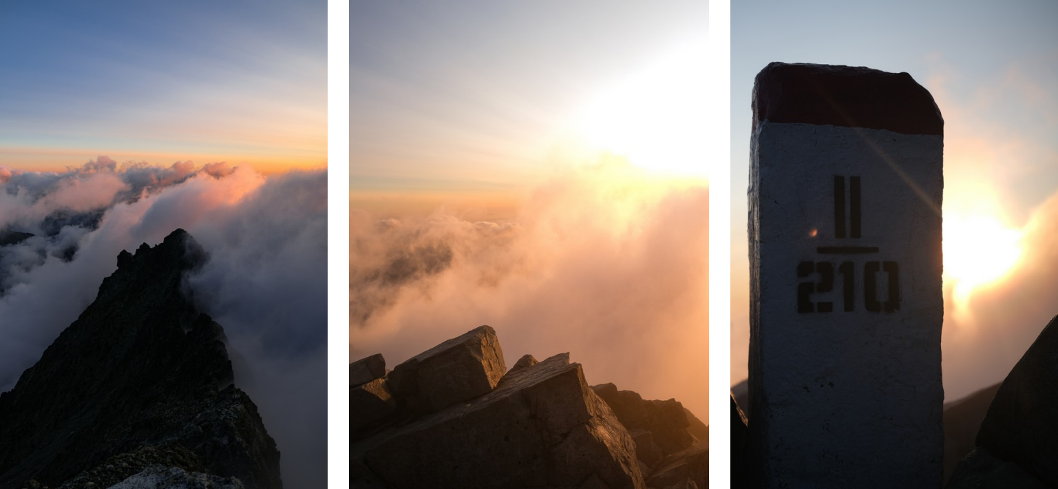
For a long while, I enjoyed the sun and the view. However, the wind was so strong that I felt shiveringly cold and had to continue. I read that the Polish side of Rysy was quite technical. Indeed, there are initially many highly exposed sections with lots of slabby passages. It was reassuring to have a chain guide the way through this relatively challenging section. On the Polish side, access to the national park is strictly forbidden before 5am, so I could move efficiently and securely through this bottleneck section, about which I heard crazy stories of hour-long queues and extensive rescue operations from my former master’s thesis student Daniil.
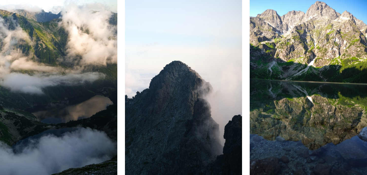
By and by, I started hearing the first few alpinists. They talked to me in Polish, but I could not understand them and apparently, they did not speak a single word of English. So we each went our own ways. Next thing I know, I have crossed paths with ten, then hundreds, and eventually what must have been thousands of people around the Morskie Oko lake. Evidently, the region is exceptionally popular among Polish people. And I cannot blame them: These beautiful mountain lakes, surrounded by pine forests, and embedded in impressive rock walls are stunning.
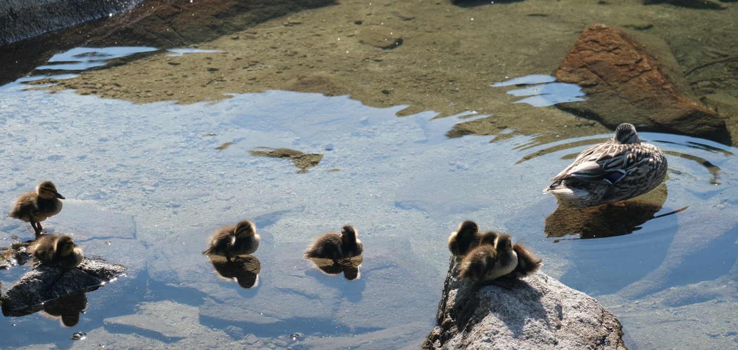
I started playing a fun game where I tried to repeat the greeting of the group I previously encountered for the next group. Things like Dobry, Czest, Ahoj, Nazde, or whatever countless expressions I picked up on. My planned GPX-track brought me around a hill to another valley filled with five extraordinarily colorful mountain lakes. No surprise there are this many people around to enjoy this nature during their summer holidays.
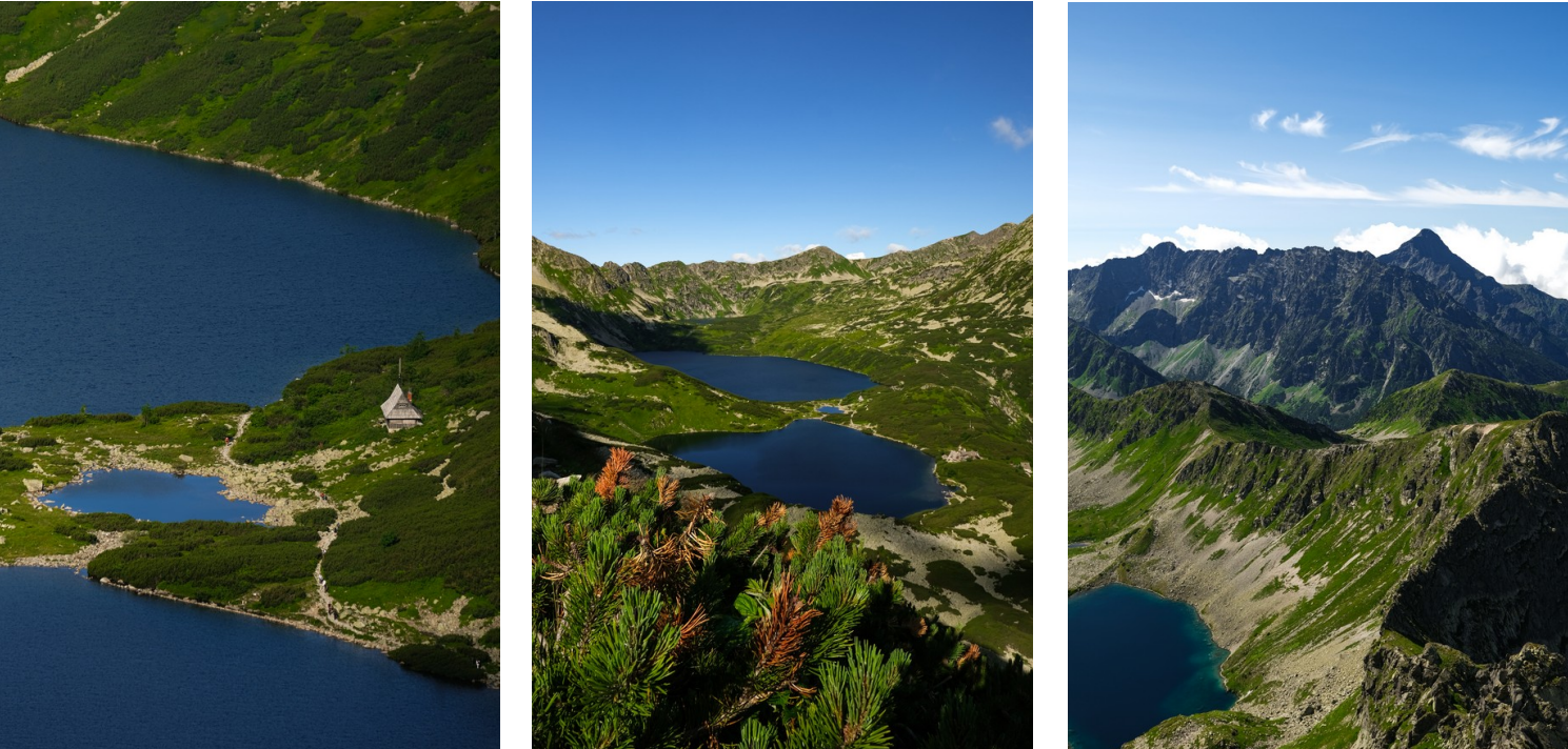
A relatively challenging scramble along some chains led me to the summit of Świnica, from where I dropped down to Kasprowy Wierch, where hundreds of people have taken the gondolas up and were strolling around. Seconds later I dove back down the trails into Slovakia, where I did not cross a single human for the next five kilometers. Incredible how one moment you can be entirely engulfed by the masses, and the moment you step a few dozen meters away from these spots, you will be completely alone. This contrast is what I observed to be very special and unique about the Tatras; the imbalance between frequentation of certain trails.
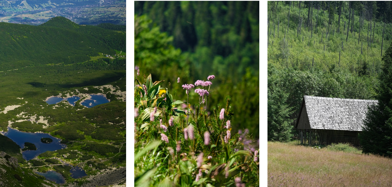
What followed was a flat, painful, nine kilometers long retreat from the national park to the next village. After only having drunk 1.5 liters during the 10 hours of activity, partially in the scorching heat of the sun, I was severely dehydrated and immediately went to a restaurant to order a portion of the traditional Slovak potato dumplings with sheep cheese, Bryndzové halušky, with lots of water and a coke.
Now, there was just one last problem to solve: Getting back to Štrbské Pleso. Sure, it was just a 15 minutes drive away from where I was. However, buses seem to only operate on weekends except for one connection which takes a long detour of almost two hours. Clearly, I should try to hitchhike. But given my terrible luck with these ventures, I was not too optimistic. And yet again, my fright was proven right. Not a single car showed even a hint of an intention to pick me up. Terrible! Fortunately enough, I saw this middle-aged couple sitting in front of their house with a white Chevrolet parked in front. I approached their house and kindly asked them if the car was theirs and if one of them could drive me to Štrbské Pleso for ten Euros. The woman, speaking relatively good German, translated for her husband, who did not hesitate a single moment and offered me a ride. A ride that was quite memorable.
The guy stepped down on his gas pedal and hit the road at full speed. We were not going to lose a single second now. From the beginning, it was clear to me, that we could neither speak English, nor German or any other language I speak. But instead of sitting next to him in silence, I tried striking up a conversation with him. From the bus schedule, I remembered the Slovakian word for yesterday and today. Hence, I said “Včera: Kriváň” and “Dnes: Rysy, Świnica, Kasprowy Wierch” to tell him what I did yesterday and today. He looked baffled and shook his head in disbelief. He signed to me that Rysy was straight ahead, way beyond Štrbské Pleso; that “Swinica, Polsko”, meaning Swinica is in Poland; and Kasprowy Wierch in the completely opposite direction, where we were coming from. Hence, he was sure I was confusing things. I tried to make clear to him that this was indeed what I did today, but had no success. After a while, he started muttering “Aha”, and now told me “Štrbské Pleso no, Štrbské Pleso gerade (German for straight), Popradské Pleso, Rysy”. I was confused. But he kept signing that at Štrbské Pleso he will continue driving straight for a while longer to Popradské Pleso. After being puzzled for a while why he now suddenly insisted on this destination, which was different from where I thought was clear from the beginning, I realized that he must have understood my recital of the summits I did today as what I still planned to do today, and hence wanted to bring me to a better starting position. A quick query to DeepL finally helped resolve this confusion, and we parted ways in good spirits.
43km | 2’600m+ | 10h GPX Strava
| Endurance | ★★★★★ | Exposure | ★★★★☆ |
| Technique | ★★★☆☆ | Route-finding | ★★☆☆☆ |
| Encounters | 5-10 people | Global difficulty | T4 |
Day 3: Gerlach and Kôprovský štít
Another day, another early wake-up call. This time, only at 3:15am, but still well before sunrise. Without wasting much time, I started the 14km long traverse over to the Batizovský valley. This morning, the few tunes of Black Eyed Peas’ “Meet Me Halfway” I remembered accompanied me in the dark to warn any bear in the vicinity of my presence.
Eventually, I arrived at the foot of the Batizovský žľab. I chose this route and my timing quite meticulously: Supposedly, it is entirely illegal to climb Gerlachovský štít without a mountain guide due to its technical and navigational difficulty. Being opposed to the practice of banning the ascent of a mountain in order to make mountain guides profit from it, I quickly decided to save these €500, and make sure I climb up and down the mountain before any guided party on its normal route would see me.
The climb starts off relatively easy. The first section is generously bolted, so finding the correct route is straightforward. What comes next is the hardest section of the climb, Batizovský proba, a headwall equipped with metal rungs to render it more accessible. Some moves before and after the rungs were not quite easy, particularly not with trail runners. But nothing even came close to exceeding my comfort zone, hence, why I kept going. What followed was a long gully. I read online that this gully is first followed on its climber’s right and later on its climber’s left hand side. While the correct route is followed quite intuitively, the absence of bolts made me question the correctness of my line over and over again. “Bingo”; Just a couple meters above me, I saw another one of these shiny metal rings, which strongly reassured me. Nevertheless, due to low visibility in the clouds, I veered too far right and topped out on the summit ridge too early. However, given the excellent quality of the rock along the ridge, the couple dozen meters of scrambling along the ridge were a true pleasure. After 45 minutes, I reached the majestic summit cross.
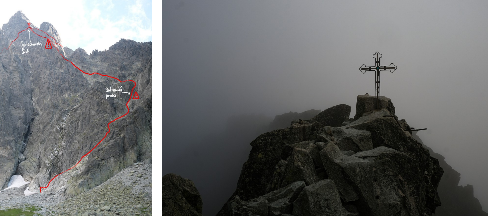
The summit was beautiful: No wind, thick mist covering its rugged ridges, and a complete silence. Relieved that I could accomplish the most ambitious project for my stay, I enjoyed a few moments of silence before starting the descent. This latter, though relatively technical and exposed at times, felt great and very flowy. On the way up I remembered two passages where I had to hop one chute over to the left so as not to miss the Batizovský proba, which turned out to be more challenging on the way down than it was on the way up. Nevertheless, after 30 minutes of beautiful scrambling, I reached the foot of the wall.
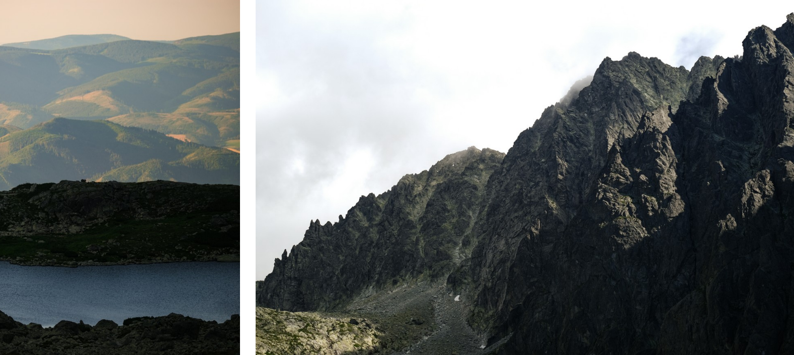
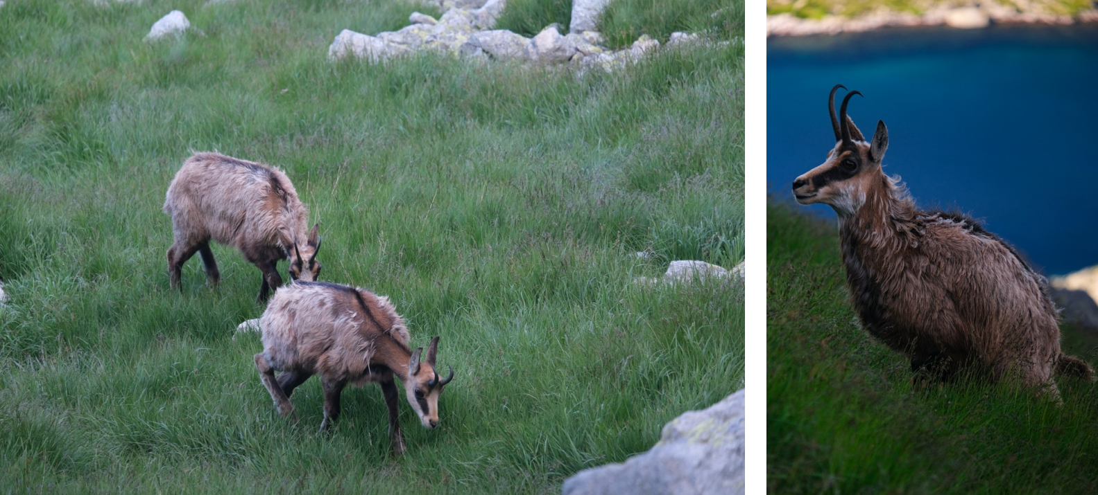
In the meanwhile, a herd of ibex moved up the Batizovský waterfalls and filled the otherwise completely desolate valley. I gently moved past these majestic animals in an attempt to not disrupt their activities, but could not resist quickly snapping a couple of shots with my camera.
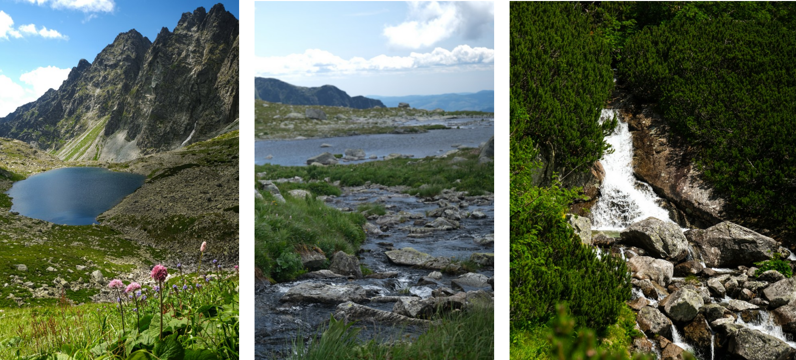
I slowly traversed back to Popradske pleso, where since my passing in the morning, the surroundings of the calm mountain lake have turned into a lively holiday paradise. Hundreds of people were eating in the restaurants, sunbathing around the lake, or hiking towards the surrounding summits. Given the still rather early morning hours and me feeling pretty well, I made my way up another valley towards Veľké Hincovo pleso and finally to the summit of Kôprovský štít.
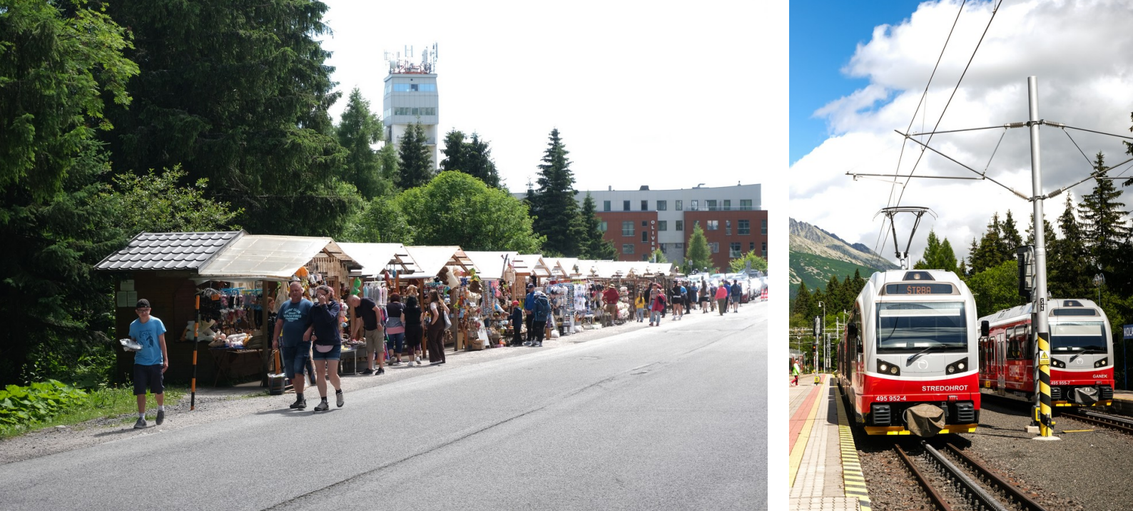
On the way down, I let my legs roll and had lots of fun doing slalom between people on these technical trails. Around 10 hours later, I made it back to Štrbské Pleso, where a beautiful Slavic holiday town had come to life. Markets, food stands, street musicians, and loads of Slovakian tourists.
38km | 2’950m+ | 10h15 GPX Strava
| Endurance | ★★★★☆ | Exposure | ★★★★★ |
| Technique | ★★★★★ | Route-finding | ★★★★★ |
| Encounters | 0 people (on Gerlach) | Global difficulty | T6/3c |
Day 4: Bystrá lávka and Predné Solisko
On the last day of my stay, I allowed myself to sleep in. But not for too long: I had to check out of the hotel by 10am at the latest, and then take the train shortly after. Hence, I decided to do a quick loop close to my hotel. At 6am, I started heading up one of the valleys north of Štrbské Pleso which lead me up a lonely stream towards the Bystrá lávka, constantly humming scraps of the melody of Veorra’s “Change”. After a few scrambling moves along a chain, I reached this impressive saddle which is perched between two beautiful deep-blue mountain lakes.
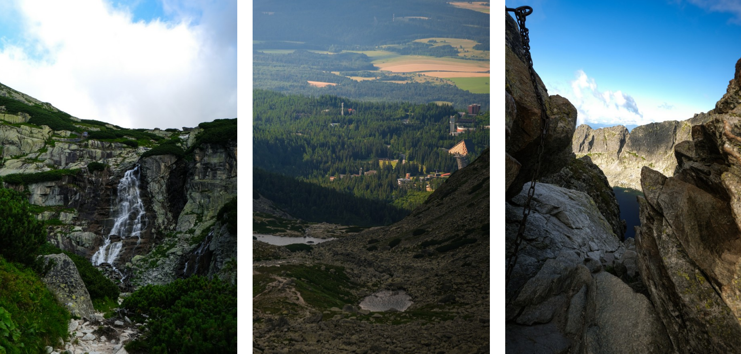
Enjoying the time alone, I blasted down the trails on the other side of the saddle, before making a quick detour up to Predné Solisko, the mountain overlooking Štrbské Pleso and featuring a decent selection of ski lifts, slopes, and other sports facilities on its south flank.
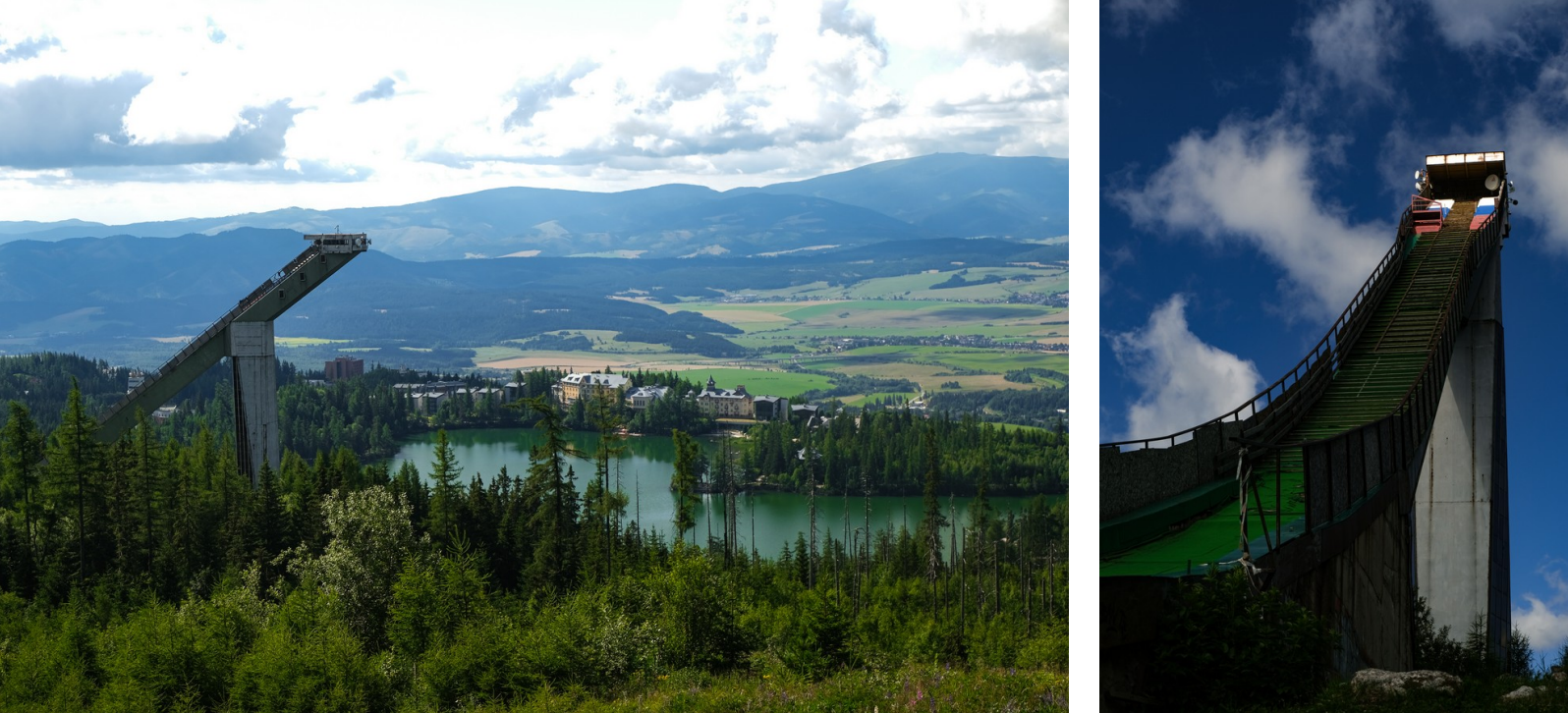
Given that I only had a few minutes left before I needed to leave, I ran down the ski slopes as fast as I could and quickly went to take a shower at the hotel. I checked out, and took the funicular train down to Štrba, from where I started my 14-hour train journey back home.
18km | 1’400m+ | 3h45 GPX Strava
| Endurance | ★★☆☆☆ | Exposure | ★★☆☆☆ |
| Technique | ★★☆☆☆ | Route-finding | ★☆☆☆☆ |
| Encounters | 0 people | Global difficulty | T3 |
Reflections on the budget
Before going to the Tatras, I took pride in it being a “budget” trip, given that I would travel by train and Slovakia being a rather inexpensive place to stay. After the trip, I listed my spendings:
| Expense | Cost |
|---|---|
| Interrail global pass (2 travel days) | €80 |
| Hotel Štrbské Pleso (3 nights) | €223 |
| Lunch and dinner (3 days) | €105 |
| National park entry fee | €3 |
| Groceries (breakfast, snacks and souvenirs) | €29 |
| Total expenses | €440 |
Still, quite a sum for a four-day trip. Štrbské Pleso is certainly a rather fancy destination, and there are many more budget-friendly places to stay. However, it is unquestionably the best base for reaching Slovakia’s most iconic peaks while also offering easy access to the Polish Tatras on day trips. I also spent considerably more on food than necessary, as I chose to eat at highly rated restaurants twice a day. That said, considering that participation fees alone for events such as Ironman World Series triathlons or races on the UTMB circuit can easily reach that level, while arguably providing a less rewarding and adventurous overall experience, I find the expense entirely justifiable.
Conclusion
Bringing the light-and-fast approach to the Tatras was very worthwhile. In just 70 hours, it felt like I experienced a month’s worth of adventures, landscapes, and cultures. I was completely astonished by how in the Tatras, natural beauty and fun trails are so densely concentrated and well accessible. Also, the quality of the trails surprised me. They were really well made, maintained, and marked.
Most of the time I was out on the trails I was completely alone. However, every now and then I would pass by a hut, cable car station, or accessible lake, and encounter hundreds of people. But next thing you know, you branch out into a smaller trail, and suddenly you would again not see a single human for the next hours. Not that it really mattered; most people out on the trails and in the towns did not speak any of my languages. Hence, small talk was very difficult to establish.
What surprised me most about the Tatras was how regulated access to it is. One is not allowed to step outside of trails; During the night, people are not allowed to be out in the Tatras National Park; and certain mountains, like Gerlach, are illegal to climb without a mountain guide. While the first two seem reasonable measures to protect wildlife, I am strongly opposed to restricting access to a mountain. Sure, it helps prevent accidents, but in the end, everyone should know well enough if they are capable of besting the technical and navigational challenges. To me, this rule seems like a way to ensure the mountain guides earn their exorbitant salaries. Public lands belong in public hands.
Finally, I would like to thank Daniil, my brilliant master’s thesis student, with whom I had many interesting conversations about the Tatras. He gave me inspiration and helped me figure out details about my trip. Without his help, I would have been completely unaware of how different mountaineering in this mountain range is compared to the Alps.